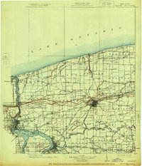
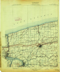
1899 Map of Niagara
USGS Topo · Published 1925About this map
Niagara River frontage and the shoreline of Lake Ontario anchor this late 19th-century survey, which documents the intense industrial and maritime infrastructure along the international border. The landscape is defined by the convergence of major transportation arteries, including the Michigan Central R. R. and the Barge Canal at Lockport. Strategically significant sites like Fort Niagara and the Brock Monument overlook the water, while the interior shows the planned grid of Model City and the Tuscarora Indian Reservation.
Find a feature on this map
142 named features on this map. Tap any name to fly to it.
Don’t see what you’re looking for? This feature index may not catch every label — zoom into the map to look around manually.
Map Details
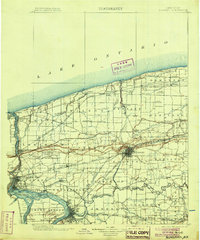
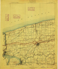
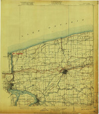
Editions of this 1899 Niagara Map
6 editions found
Other maps of this area

1894 · Buffalo
USGS Topo · 1:62,500

1894 · Niagara Falls
USGS Topo · 1:62,500

1894 · Wilson
USGS Topo · 1:62,500

1896 · Niagara Falls
USGS Topo · 1:62,500

1897 · Tonawanda
USGS Topo · 1:62,500

1897 · Olcott
USGS Topo · 1:62,500

1897 · Medina
USGS Topo · 1:62,500

1897 · Lockport
USGS Topo · 1:62,500

1897 · Ridgeway
USGS Topo · 1:62,500

1899 · Niagara
USGS Topo · 1:125,000