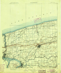
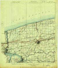
1899 Map of Niagara
USGS Topo · Published 1904About this map
Fort Niagara stands at the mouth of the Niagara River on this turn-of-the-century survey, anchoring a region defined by its vital international border and diverse industrial corridors. The map details the complex transportation network of the 1890s, including the Electric R. R. and the Rome Watertown and Ogdensburg R. R., which linked lakeside settlements like Olcott and Wilson to the inland hubs of Lockport and the Tuscarora Indian Reservation.
Find a feature on this map
138 named features on this map. Tap any name to fly to it.
Don’t see what you’re looking for? This feature index may not catch every label — zoom into the map to look around manually.
Map Details
Editions of this 1899 Niagara Map
6 editions found
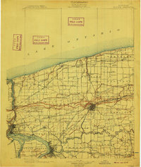
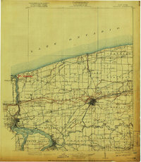
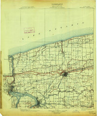
Other maps of this area

1894 · Buffalo
USGS Topo · 1:62,500

1894 · Niagara Falls
USGS Topo · 1:62,500

1894 · Wilson
USGS Topo · 1:62,500

1896 · Niagara Falls
USGS Topo · 1:62,500

1897 · Tonawanda
USGS Topo · 1:62,500

1897 · Olcott
USGS Topo · 1:62,500

1897 · Medina
USGS Topo · 1:62,500

1897 · Lockport
USGS Topo · 1:62,500

1897 · Ridgeway
USGS Topo · 1:62,500

1899 · Niagara
USGS Topo · 1:125,000