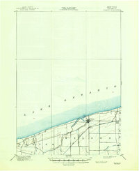
1900 Map of Wilson
USGS Topo · Published 1947About this map
Lake Ontario dominates the northern horizon of this Niagara County landscape, where the shoreline meets a network of vital waterways and early transportation routes. The village of Wilson serves as the primary hub, situated near the mouth of Twelvemile Creek. This period of development is characterized by the presence of the Rome Watertown and Ogdensburg Station, reflecting the importance of the railroad in connecting Lake Ontario's southern shore to broader trade networks at the turn of the century. Further east, the small settlement of North Wilson and the winding course of Hopkins Creek illustrate the rural character of the township. Surveyed in the late 19th century, the map reveals a structured grid of local roads and land divisions within the townships of Porter and Wilson, providing a detailed look at the agricultural and residential footprint before mid-century modernization.
Find a feature on this map
10 named features on this map. Tap any name to fly to it.
Don’t see what you’re looking for? This feature index may not catch every label — zoom into the map to look around manually.
Map Details
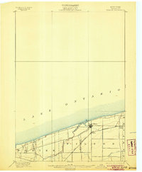
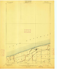
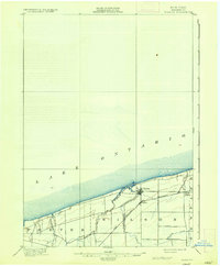
Editions of this 1900 Wilson Map
5 editions found
Other maps of this area

1894 · Niagara Falls
USGS Topo · 1:62,500

1894 · Wilson
USGS Topo · 1:62,500

1896 · Niagara Falls
USGS Topo · 1:62,500

1897 · Tonawanda
USGS Topo · 1:62,500

1897 · Olcott
USGS Topo · 1:62,500

1897 · Lockport
USGS Topo · 1:62,500

1899 · Niagara
USGS Topo · 1:125,000

1900 · Wilson
USGS Topo · 1:62,500

1900 · Tonawanda
USGS Topo · 1:62,500

1900 · Niagara Falls
USGS Topo · 1:62,500