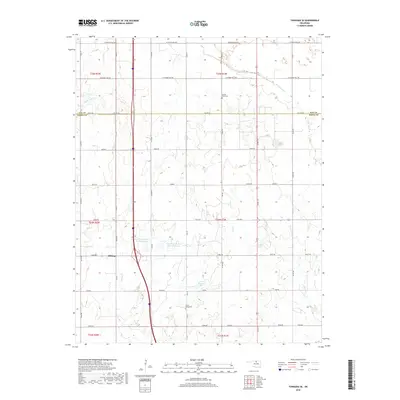
2018 Map of Tonkawa SE
USGS Topo · Published 2018About this map
Billings anchors the western edge of this landscape where the borders of Kay and Noble counties meet. This region is defined by an intricate network of drainage systems, including the southward-flowing Grassy Cr and Doe Cr, which feed into substantial water management projects like the Upper Red Rock Cr Site 6 Reservoir and Upper Red Rock Cr Site 5 Reservoir. The terrain is marked by a distinct area of Badlands in the east, contrasting with the organized grid of section roads such as W Cowboy Hill Rd and Zigzag road. For those researching family history in this part of Oklahoma, the map serves as a primary source for locating rural landmarks, including the Prairie View Cem and Floral Ridge Cem, which remain as essential identifiers of the local community and its heritage.
Find a feature on this map
51 named features on this map. Tap any name to fly to it.
Don’t see what you’re looking for? This feature index may not catch every label — zoom into the map to look around manually.
Map Details
Editions of this 2018 Tonkawa SE Map
This is the sole edition of this map. No revisions or reprints were ever made.
Other maps of this area

1955 · Enid
USGS Topo · 1:250,000

1958 · Enid
USGS Topo · 1:250,000

1968 · Billings
USGS Topo · 1:24,000

1968 · Tonkawa SE
USGS Topo · 1:24,000

1968 · Marland
USGS Topo · 1:24,000

1968 · Ponca City NW
USGS Topo · 1:24,000

1968 · Eddy
USGS Topo · 1:24,000

1968 · Tonkawa
USGS Topo · 1:24,000

1972 · Perry NW
USGS Topo · 1:24,000

1972 · Red Rock
USGS Topo · 1:24,000