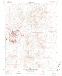
1960 Map of Tonopah
USGS Topo · Published 1982About this map
Tonopah serves as the focal point of this Nevada survey, straddling the line between Esmeralda and Nye counties. The town is surrounded by a dense concentration of mining claims and workings that define the local economy and history, including legendary sites like Mizpah, Desert Queen, and the Montana Tonopah mine. These operations are clustered around prominent peaks such as Mt Oddie and Brougher Mtn, illustrating the intense geological exploration of the mid-20th century.
Find a feature on this map
53 named features on this map. Tap any name to fly to it.
Don’t see what you’re looking for? This feature index may not catch every label — zoom into the map to look around manually.
Map Details
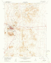
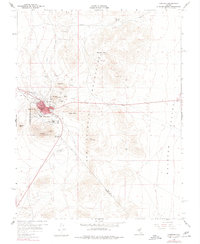
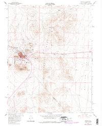
Editions of this 1960 Tonopah Map
4 editions found
Other maps of this area

1907 · Tonopah
USGS Topo · 1:250,000

1908 · Lida
USGS Topo · 1:250,000

1908 · Tonopah
USGS Topo · 1:250,000

1913 · Lida
USGS Topo · 1:250,000

1945 · Goldfield
USGS Topo · 1:125,000

1952 · Mud Lake
USGS Topo · 1:62,500

1954 · Goldfield
USGS Topo · 1:250,000

1955 · Goldfield
USGS Topo · 1:250,000

1956 · Tonopah
USGS Topo · 1:250,000

1958 · Goldfield
USGS Topo · 1:250,000