
1939 Map of Topaz
USGS Topo · Published 1939About this map
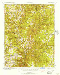
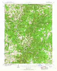
The North Fork River carves a winding path through the Ozark borderlands of Douglas and Ozark counties, serving as the primary geographic anchor for this late 1930s landscape. The settlement pattern is defined by rural crossroads and riverside outposts such as Topaz, Richville, and Twin Bridges. These small communities, often consisting of a single school or local hub like Fields Store or Holt Store, reflect a self-sufficient upland economy before modern regional consolidation.
Find a feature on this map
75 named features on this map. Tap any name to fly to it.
Don’t see what you’re looking for? This feature index may not catch every label — zoom into the map to look around manually.
Map Details
Editions of this 1939 Topaz Map
3 editions found
Other maps of this area

1934 · Gainesville
USGS Topo · 1:48,000

1937 · Buckhart
USGS Topo · 1:48,000

1940 · Gainesville
USGS Topo · 1:62,500

1941 · Topaz
USGS Topo · 1:62,500

1943 · Buckhart
USGS Topo · 1:62,500

1944 · West Plains
USGS Topo · 1:62,500

1944 · Cureall
USGS Topo · 1:62,500

1945 · Harrison
USGS Topo · 1:250,000

1945 · Buckhart
USGS Topo · 1:62,500

1945 · Willow Springs
USGS Topo · 1:62,500