
1980 Map of Topsail
USGS Topo · Published 1986About this map
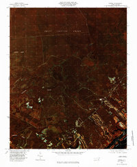
Holly Shelter Swamp dominates the northern reaches of this coastal Pender County landscape, its dense vegetative cover captured through color infrared aerial photography in the early 1980s. This specialized imaging reveals a complex network of wetlands and drainage patterns, including Catskin Creek and the southern flow of Harrisons Creek. The transition from the swamp interior to the coast is marked by the community of Topsail and the nearby settlement of Woodside, positioned as the land gives way to Topsail Sound. The map illustrates the expansion of local infrastructure and residential footprints into the low-lying terrain of Trumpeter Swamp, providing a record of coastal development patterns before the significant shifts of the late 20th century.
Find a feature on this map
7 named features on this map. Tap any name to fly to it.
Don’t see what you’re looking for? This feature index may not catch every label — zoom into the map to look around manually.
Map Details
Editions of this 1980 Topsail Map
2 editions found
Other maps of this area

1942 · Topsail
USGS Topo · 1:62,500

1942 · Burgaw
USGS Topo · 1:62,500

1947 · Rocky Point
USGS Topo · 1:62,500

1948 · Maple Hill
USGS Topo · 1:62,500

1948 · Topsail
USGS Topo · 1:62,500

1953 · Beaufort
USGS Topo · 1:250,000

1954 · Beaufort
USGS Topo · 1:250,000

1970 · Hampstead
USGS Topo · 1:24,000

1970 · Topsail
USGS Topo · 1:24,000

1970 · Scotts Hill
USGS Topo · 1:24,000