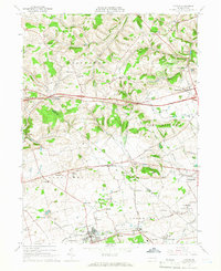
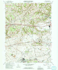
1965 Map of Topton
USGS Topo · Published 1967About this map
Topton and its surrounding borough serve as a focal point for this mid-1960s survey of the Lehigh and Berks county border. The landscape is characterized by a dense network of small crossroads settlements and family-named hamlets, such as Seiberlingville, Hynemansville, and Fogelsville, which were vital hubs for the local farming community. The southern portion of the map highlights the infrastructure of the Reading railroad, which supported the industry and transit of towns like Mertztown and Shamrock Station.
Find a feature on this map
59 named features on this map. Tap any name to fly to it.
Don’t see what you’re looking for? This feature index may not catch every label — zoom into the map to look around manually.
Map Details
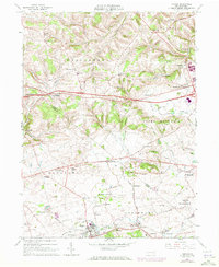
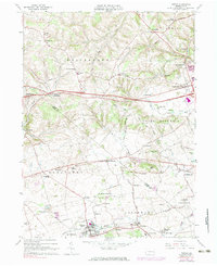
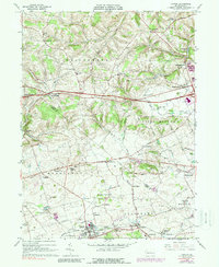
Editions of this 1965 Topton Map
5 editions found
Other maps of this area

1894 · Reading
USGS Topo · 1:62,500

1902 · Boyertown
USGS Topo · 1:62,500

1902 · Slatington
USGS Topo · 1:62,500

1909 · Hamburg
USGS Topo · 1:62,500

1911 · Hamburg
USGS Topo · 1:62,500

1913 · Reading
USGS Topo · 1:62,500

1915 · Reading
USGS Topo · 1:62,500

1937 · Allentown West
USGS Topo · 1:48,000

1942 · Allentown West
USGS Topo · 1:62,500

1943 · Manatawny
USGS Topo · 1:31,680