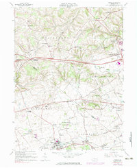
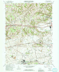
1965 Map of Topton
USGS Topo · Published 1983About this map
The Reading railroad corridor serves as the industrial and social backbone for the southern portion of this region, connecting established manufacturing hubs and depots. Communities like Topton, Mertztown, and Shamrock Station cluster along these tracks, while several quarries south of Five Points indicate the area's geological and economic reliance on stone extraction. The landscape is dotted with rural institutions that anchored local life, including Ziegel Ch and Township Sch.
Find a feature on this map
53 named features on this map. Tap any name to fly to it.
Don’t see what you’re looking for? This feature index may not catch every label — zoom into the map to look around manually.
Map Details
Editions of this 1965 Topton Map
5 editions found
Other maps of this area

1894 · Reading
USGS Topo · 1:62,500

1902 · Boyertown
USGS Topo · 1:62,500

1902 · Slatington
USGS Topo · 1:62,500

1909 · Hamburg
USGS Topo · 1:62,500

1911 · Hamburg
USGS Topo · 1:62,500

1913 · Reading
USGS Topo · 1:62,500

1915 · Reading
USGS Topo · 1:62,500

1937 · Allentown West
USGS Topo · 1:48,000

1942 · Allentown West
USGS Topo · 1:62,500

1943 · Manatawny
USGS Topo · 1:31,680