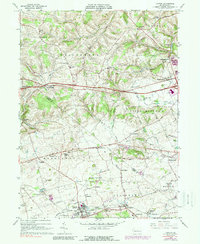
1965 Map of Topton
USGS Topo · Published 1988About this map
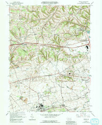
Topton and its surrounding Pennsylvania Dutch farm country appear here in the mid-1960s, defined by a network of small hamlets and the enduring presence of local congregations. The borough of Topton serves as a hub near the Reading railroad line, while rural life centers on places like Mertztown, Longswamp, and the distinctive Leather Corner Post at the northern edge of the survey. The landscape is dotted with early community landmarks, including St Pauls Ch, Ziegel Ch, and Zion Ch, reflecting the deep-rooted religious history of Weisenberg and Maxatawny townships.
Find a feature on this map
64 named features on this map. Tap any name to fly to it.
Don’t see what you’re looking for? This feature index may not catch every label — zoom into the map to look around manually.
Map Details
Editions of this 1965 Topton Map
5 editions found
Other maps of this area

1894 · Reading
USGS Topo · 1:62,500

1902 · Boyertown
USGS Topo · 1:62,500

1902 · Slatington
USGS Topo · 1:62,500

1909 · Hamburg
USGS Topo · 1:62,500

1911 · Hamburg
USGS Topo · 1:62,500

1913 · Reading
USGS Topo · 1:62,500

1915 · Reading
USGS Topo · 1:62,500

1937 · Allentown West
USGS Topo · 1:48,000

1942 · Allentown West
USGS Topo · 1:62,500

1943 · Manatawny
USGS Topo · 1:31,680