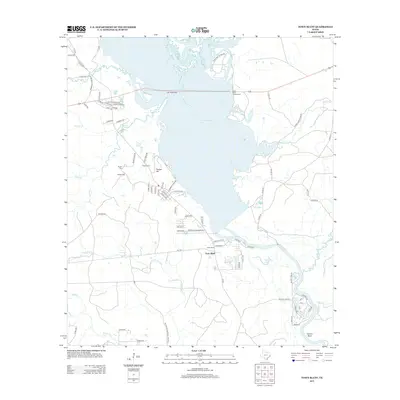
2013 Map of Town Bluff
USGS Topo · Published 2013About this map
Town Bluff sits at the heart of this East Texas landscape, positioned near the southern reaches of the expansive B A Steinhagen Lake. The terrain is defined by the convergence of numerous waterways, including Wolf Cr, Sulphur Br, and Rush Cr, which feed into the primary reservoir or wind toward the Neches River system. To the south, the protected woodlands of the Big Thicket National Preserve dominate the map, showcasing the dense bottomland character of the region. Genealogists and local historians will find significant value in the clustered burial sites west of the lake, specifically Supps Cem, Pedigo Cem, and Moffet Cem, all located near the prominent Pedigo Hill. The map also details residential developments such as Barlow Lake Est and recreational spaces like the Beech Grove Campground, illustrating the area's dual role as a timberland preserve and a destination for water-based recreation.
Find a feature on this map
85 named features on this map. Tap any name to fly to it.
Don’t see what you’re looking for? This feature index may not catch every label — zoom into the map to look around manually.
Map Details
Editions of this 2013 Town Bluff Map
This is the sole edition of this map. No revisions or reprints were ever made.
Other maps of this area

1954 · Beaumont
USGS Topo · 1:250,000

1955 · Woodville
USGS Topo · 1:62,500

1955 · Curtis
USGS Topo · 1:62,500

1957 · Beaumont
USGS Topo · 1:250,000

1958 · Warren
USGS Topo · 1:62,500

1958 · Spurger
USGS Topo · 1:62,500

1984 · Beaumont
USGS Topo · 1:250,000
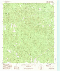
1984 · Boggy Lake
USGS Topo · 1:24,000
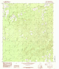
1984 · Beech Grove
USGS Topo · 1:24,000
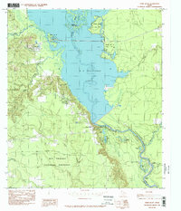
1984 · Town Bluff
USGS Topo · 1:24,000