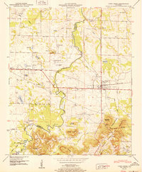
1950 Map of Town Creek
USGS Topo · Published 1950About this map
The Southern Railway and the Joe Wheeler Highway bisect this landscape, anchoring the town of Town Creek as a regional transport hub in the late 1940s. The map reveals a dense network of family and community landmarks, including Winston Quarters and the small settlement of Cottontown. Educational and spiritual life are well-documented through sites like St James Sch, Macedonia Sch, and Old Mt Zion Church.
Find a feature on this map
58 named features on this map. Tap any name to fly to it.
Don’t see what you’re looking for? This feature index may not catch every label — zoom into the map to look around manually.
Map Details
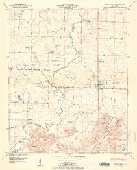
Editions of this 1950 Town Creek Map
2 editions found
Other maps of this area

1914 · Rogersville
USGS Topo · 1:48,000

1914 · Muscle Shoals
USGS Topo · 1:48,000

1916 · Muscle Shoals
USGS Topo · 1:62,500

1916 · Rogersville
USGS Topo · 1:62,500

1924 · Tuscumbia
USGS Topo · 1:48,000

1926 · Tuscumbia
USGS Topo · 1:62,500

1936 · Thorntontown
USGS Topo · 1:24,000

1936 · Courtland
USGS Topo · 1:24,000

1936 · Wheeler Dam
USGS Topo · 1:24,000

1936 · Town Creek
USGS Topo · 1:24,000