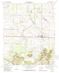
1974 Map of Town Creek
USGS Topo · Published 1989About this map
The town of Town Creek serves as the central hub of this northern Alabama landscape, situated at the crossroads of the Joe Wheeler Highway and the rail line. The map reveals a high density of rural cemeteries and family burial grounds such as Dillahunty Cem, Madding Cem, and Scruggs Cem, providing significant topographical context for local genealogists. To the south, the terrain shifts dramatically from the agricultural plains into the foothills of Little Mountain, marked by distinctive elevations like Green Bluff Mountain and Black Ground Mountain.
Find a feature on this map
76 named features on this map. Tap any name to fly to it.
Don’t see what you’re looking for? This feature index may not catch every label — zoom into the map to look around manually.
Map Details
Editions of this 1974 Town Creek Map
2 editions found
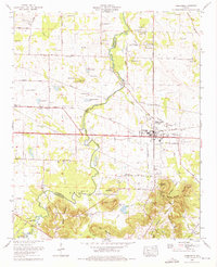
Other maps of this area

1914 · Rogersville
USGS Topo · 1:48,000

1914 · Muscle Shoals
USGS Topo · 1:48,000

1916 · Muscle Shoals
USGS Topo · 1:62,500

1916 · Rogersville
USGS Topo · 1:62,500

1924 · Tuscumbia
USGS Topo · 1:48,000

1926 · Tuscumbia
USGS Topo · 1:62,500

1936 · Thorntontown
USGS Topo · 1:24,000

1936 · Courtland
USGS Topo · 1:24,000

1936 · Wheeler Dam
USGS Topo · 1:24,000

1936 · Town Creek
USGS Topo · 1:24,000