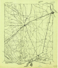
1921 Map of Toyah
USGS Topo · Published 1921About this map
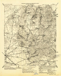
Pecos serves as the focal point of this West Texas landscape, where the A. T. & Santa Fe and Pecos Valley Southern railroads converge along the banks of the Pecos River. The map reveals a region defined by its critical water sources and transportation arteries, with the Texas and Pacific line bisecting the quadrangle through Toyah. The presence of the Bankhead Highway and the Old Spanish Trail highlights the area's role as a major transcontinental corridor during the early years of American automobile travel.
Find a feature on this map
52 named features on this map. Tap any name to fly to it.
Don’t see what you’re looking for? This feature index may not catch every label — zoom into the map to look around manually.
Map Details
Editions of this 1921 Toyah Map
This is the sole edition of this map. No revisions or reprints were ever made.
Other maps of this area
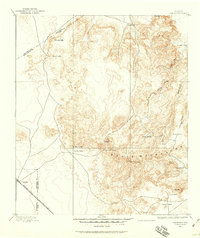
1894 · Valentine
USGS Topo · 1:125,000
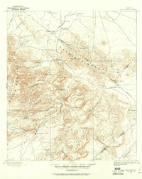
1894 · Fort Davis
USGS Topo · 1:125,000
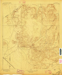
1897 · Valentine
USGS Topo · 1:125,000
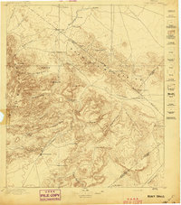
1897 · Fort Davis
USGS Topo · 1:125,000
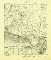
1928 · Kent
USGS Topo · 1:125,000
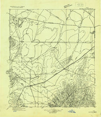
1929 · Hovey
USGS Topo · 1:125,000
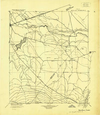
1931 · Barstow
USGS Topo · 1:125,000
1943 · Valentine
USGS Topo · 1:125,000
1954 · Van Horn
USGS Topo · 1:250,000

1954 · Pecos
USGS Topo · 1:250,000