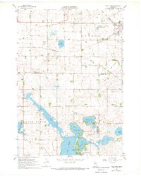
1967 Map of Tracy West
USGS Topo · Published 1968About this map
The railroad town of Tracy anchors this southwestern Minnesota landscape during the late 1960s, situated at a junction of the Chicago and North Western line. This survey captures a region defined by complex glacial hydrology, where the large waters of Lake Sarah and She Tek are joined by The Inlet. The map reveals the gradual transformation of the prairie into a managed agricultural and recreational corridor, marked by specialized land use such as the Greenhead State Wildlife Management Area and the She Tek State Wildlife Management Area.
Find a feature on this map
29 named features on this map. Tap any name to fly to it.
Don’t see what you’re looking for? This feature index may not catch every label — zoom into the map to look around manually.
Map Details
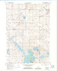
Editions of this 1967 Tracy West Map
2 editions found
Other maps of this area

1953 · New Ulm
USGS Topo · 1:250,000

1957 · New Ulm
USGS Topo · 1:250,000

1958 · New Ulm
USGS Topo · 1:250,000

1962 · Milroy SE
USGS Topo · 1:24,000

1962 · Amiret
USGS Topo · 1:24,000

1963 · Marshall SE
USGS Topo · 1:24,000

1967 · New Ulm
USGS Topo · 1:250,000

1967 · Balaton
USGS Topo · 1:24,000

1967 · Tracy East
USGS Topo · 1:24,000

1967 · Hadley
USGS Topo · 1:24,000