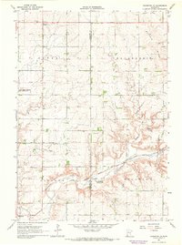
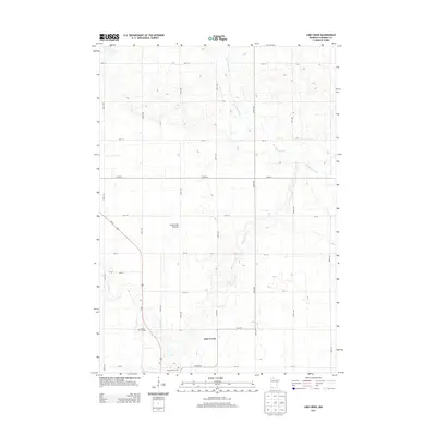
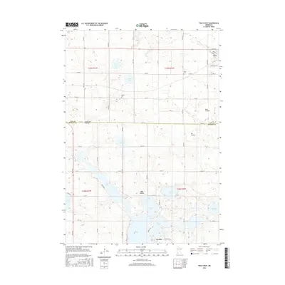
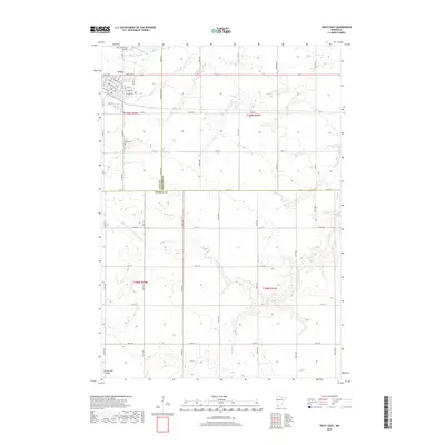
1967 Map of Tracy West
USGS Topo · Published 1988About this map
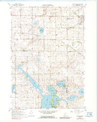
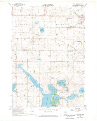
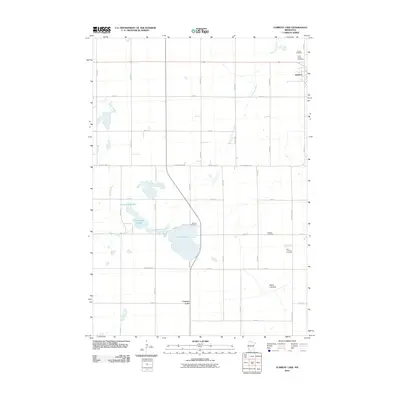
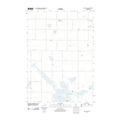
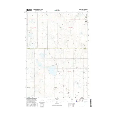
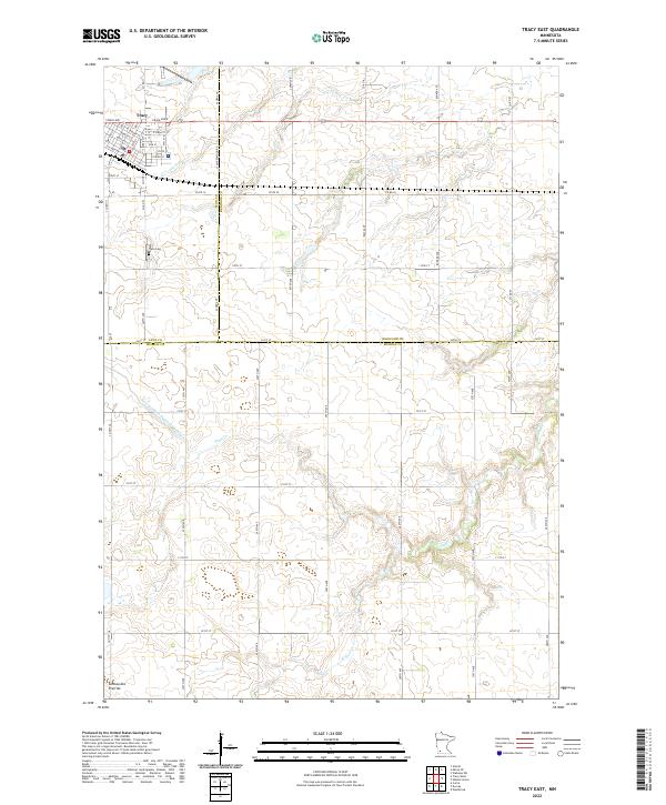
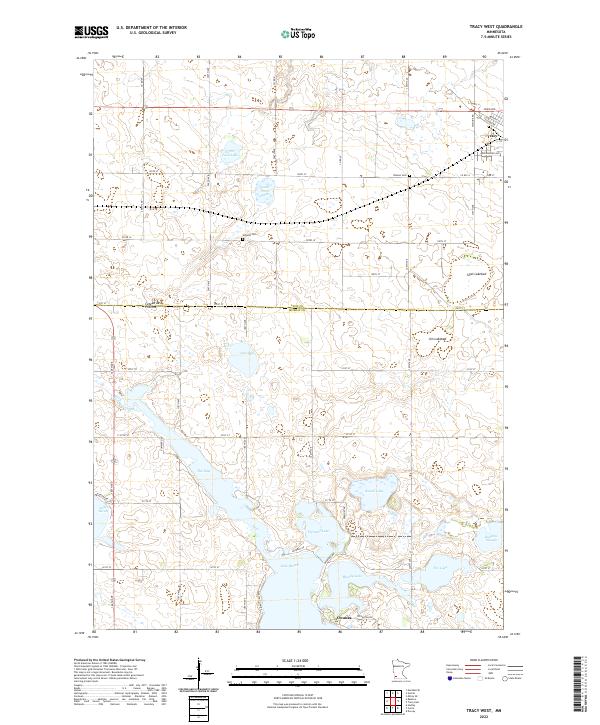
Lake Shetek and the surrounding prairie landscape define this portion of southwestern Minnesota, where the drainage patterns of The Inlet and Lake Sarah meet a growing agricultural and transit corridor. The Chicago and North Western railroad cuts across the northern half of the map, supporting the town of Tracy, which serves as a vital local hub near the Greenhead State Wildlife Management Area.
Find a feature on this map
29 named features on this map. Tap any name to fly to it.
Don’t see what you’re looking for? This feature index may not catch every label — zoom into the map to look around manually.
Map Details
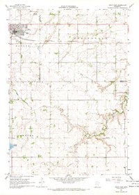
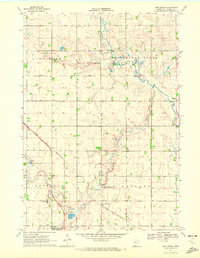
Editions of this 1967 Tracy West Map
2 editions found
Historical Maps of Tracy Through Time
36 maps found
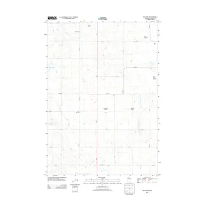
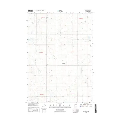
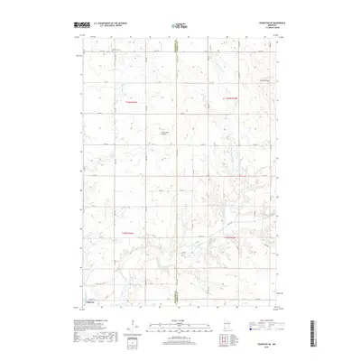
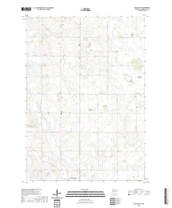
1967 Balaton SW
Murray County, MN
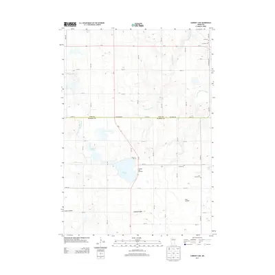
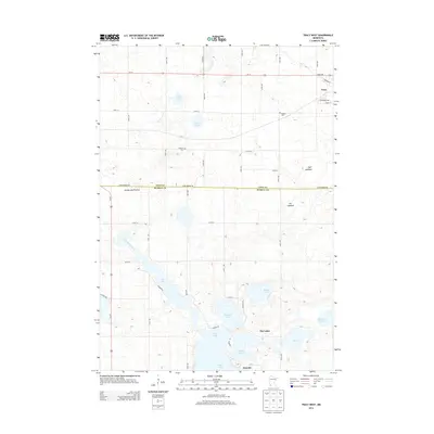
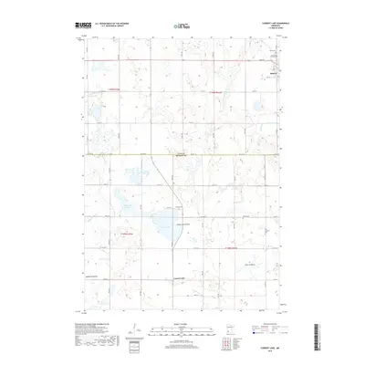
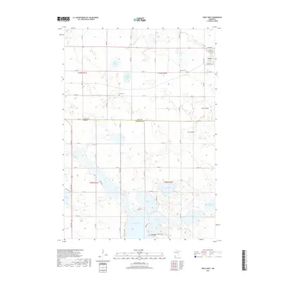
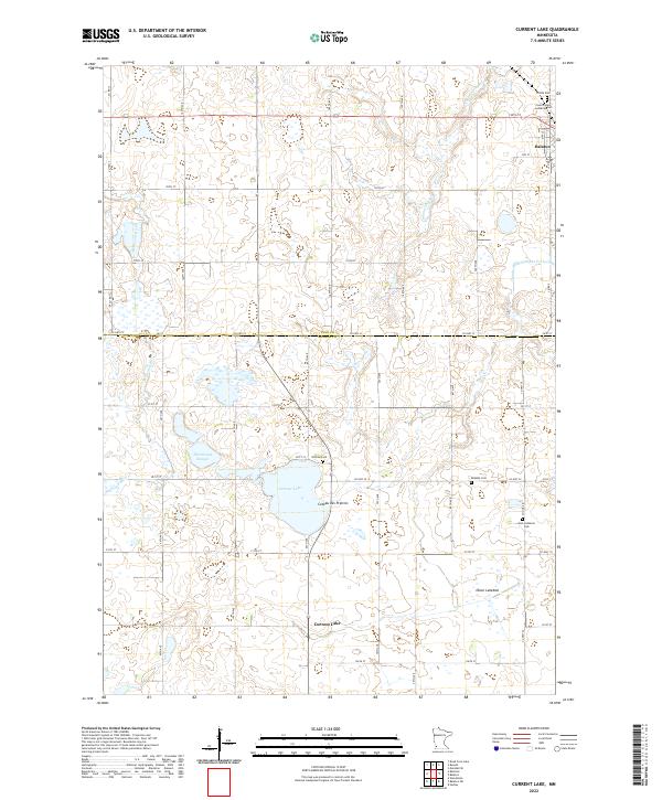
1967 Current Lake
Murray County, MN
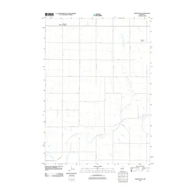
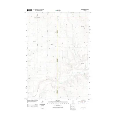
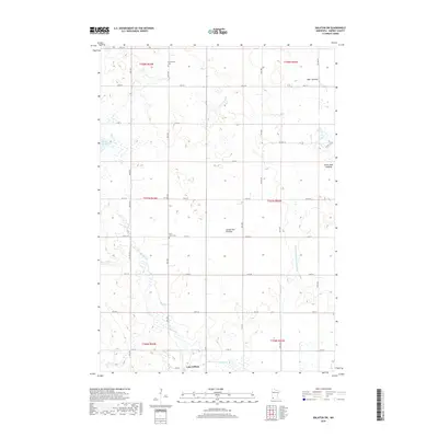
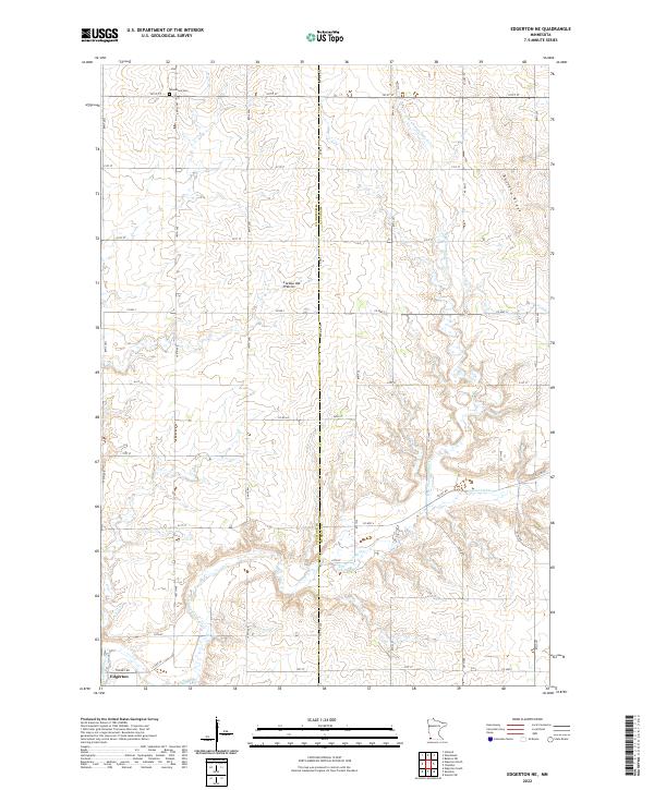
1967 Edgerton NE
Murray County, MN
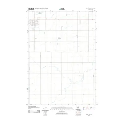
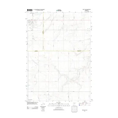
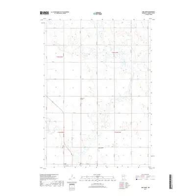
1967 Tracy East
Murray County, MN
1967 Tracy West
Murray County, MN
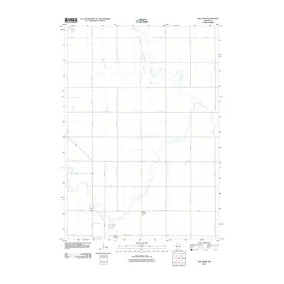
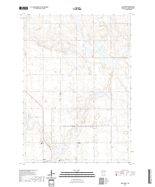
1970 Lime Creek
Murray County, MN
2010 Balaton SW
Murray County, MN
2010 Current Lake
Murray County, MN
2010 Edgerton NE
Murray County, MN
2010 Lime Creek
Murray County, MN
2010 Tracy East
Murray County, MN
2010 Tracy West
Murray County, MN
2013 Balaton SW
Murray County, MN
2013 Current Lake
Murray County, MN
2013 Edgerton NE
Murray County, MN
2013 Lime Creek
Murray County, MN
2013 Tracy East
Murray County, MN
2013 Tracy West
Murray County, MN
2016 Balaton SW
Murray County, MN
2016 Current Lake
Murray County, MN
2016 Edgerton NE
Murray County, MN
2016 Lime Creek
Murray County, MN
2016 Tracy East
Murray County, MN
2016 Tracy West
Murray County, MN
2019 Balaton SW
Murray County, MN
2019 Current Lake
Murray County, MN
2019 Edgerton NE
Murray County, MN
2019 Lime Creek
Murray County, MN
2019 Tracy East
Murray County, MN
2019 Tracy West
Murray County, MN
2022 Balaton SW
Murray County, MN
2022 Current Lake
Murray County, MN
2022 Edgerton NE
Murray County, MN
2022 Lime Creek
Murray County, MN
2022 Tracy East
Murray County, MN
2022 Tracy West
Murray County, MN