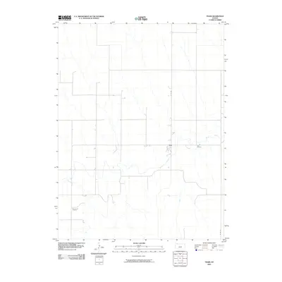
2009 Map of Traer
USGS Topo · Published 2009About this map
Beaver Creek meanders through the heart of this northwestern Kansas landscape, providing a primary topographical anchor for the small settlement of Traer. The terrain is defined by the winding course of the creek and the grid-like organization of rural roads such as Co RD 465 and Co RD 314. For those tracing local history or family lineage, the presence of Traer Cemetery and Saint Johns Cemetery offers significant points of interest, anchoring the map's geography to the area's social history. The map illustrates a sparse, agricultural environment where the built environment is limited to small clusters of structures and a network of county roads that navigate the subtle changes in elevation near the watercourse.
Find a feature on this map
6 named features on this map. Tap any name to fly to it.
Don’t see what you’re looking for? This feature index may not catch every label — zoom into the map to look around manually.
Map Details
Editions of this 2009 Traer Map
This is the sole edition of this map. No revisions or reprints were ever made.
Other maps of this area

1951 · Herndon
USGS Topo · 1:62,500

1951 · Oberlin
USGS Topo · 1:62,500

1954 · McCook
USGS Topo · 1:250,000

1954 · Goodland
USGS Topo · 1:250,000

1956 · Goodland
USGS Topo · 1:250,000

1957 · McCook
USGS Topo · 1:250,000

1957 · Goodland
USGS Topo · 1:250,000

1957 · McCook SW
USGS Topo · 1:24,000

1957 · McCook SE
USGS Topo · 1:24,000

1958 · McCook
USGS Topo · 1:250,000