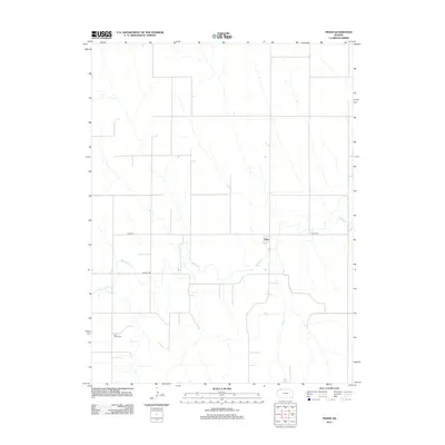
2012 Map of Traer
USGS Topo · Published 2012About this map
Traer serves as the quiet center of this agricultural landscape in Decatur County, where the grid of rural roads is interrupted only by the meandering path of Beaver Crk. This 2012 survey documents the persistent settlement patterns of the High Plains, where sections of farmland are still bounded by routes like Co Rd-314. The map is particularly useful for those tracing local heritage, as it identifies two significant burial grounds that anchor the community's history: Traer Cem situated east of the town site and Saint Johns Cem located further south. The hydrography of Beaver Cr remains the dominant natural feature, cutting across the section lines and dictating the placement of early crossings and homesteads in this corner of northwest Kansas.
Find a feature on this map
6 named features on this map. Tap any name to fly to it.
Don’t see what you’re looking for? This feature index may not catch every label — zoom into the map to look around manually.
Map Details
Editions of this 2012 Traer Map
This is the sole edition of this map. No revisions or reprints were ever made.
Other maps of this area

1951 · Herndon
USGS Topo · 1:62,500

1951 · Oberlin
USGS Topo · 1:62,500

1954 · McCook
USGS Topo · 1:250,000

1954 · Goodland
USGS Topo · 1:250,000

1956 · Goodland
USGS Topo · 1:250,000

1957 · McCook
USGS Topo · 1:250,000

1957 · Goodland
USGS Topo · 1:250,000

1957 · McCook SW
USGS Topo · 1:24,000

1957 · McCook SE
USGS Topo · 1:24,000

1958 · McCook
USGS Topo · 1:250,000