Loading...
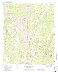
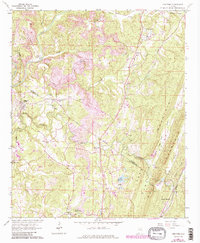
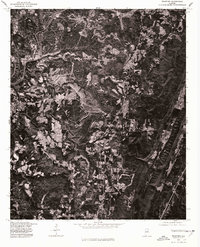
Loading map...1961 Map of Trafford
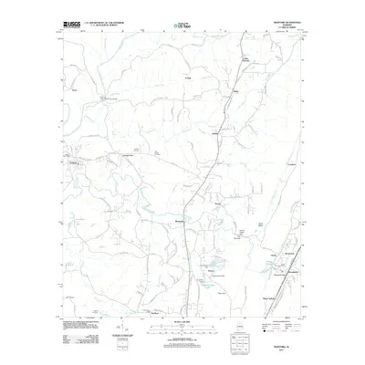
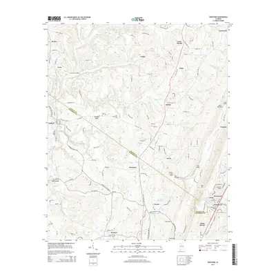
USGS Topo · Published 1986About this map
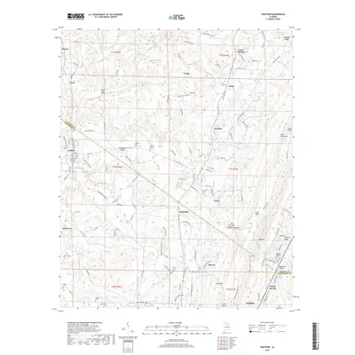
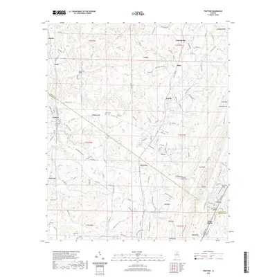
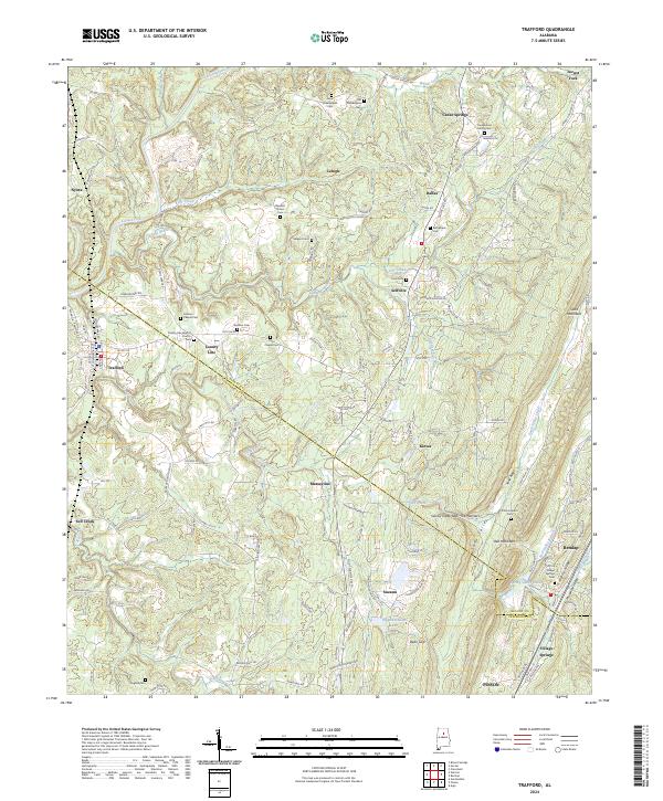
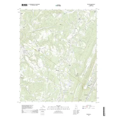
Extensive industrial and rural activity defines the landscape where Blount and Jefferson Counties meet. This 1961 survey, updated in the mid-1980s, reveals a terrain shaped by heavy extraction, with strip mines and various mines scattered along the Locust Fork and Kelly Creek. The rail network of the Seaboard line connects small settlements like Trafford and Nyota, while the southern reaches feature the residential and recreational development of Spring Valley Lakes and a local Golf Course.
Find a feature on this map
54 named features on this map. Tap any name to fly to it.
Don’t see what you’re looking for? This feature index may not catch every label — zoom into the map to look around manually.
Map Details
Date Portrayed1961
Date Published1986
PublisherU.S. Geological Survey
Map TypeTopographic
Scale1:24,000
Physical Dimensions22 x 27.1 inches
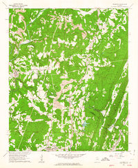
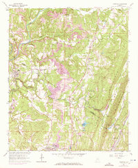
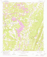
Editions of this 1961 Trafford Map
5 editions found
Historical Maps of Pinson Through Time
8 maps found
Featured Locations
Source Details
SourceU.S. Geological Survey
CopyrightPublic Domain