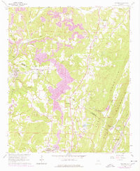
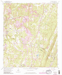
1961 Map of Trafford
USGS Topo · Published 1978About this map
Deep industrial roots and rural community life define the landscape along the Jefferson and Blount County line in the early 1960s. The Louisville and Nashville railroad tracks follow the winding course of the Locust Fork, serving coal interests evident in the numerous strip mines and the settlement at Nyota. This area preserves the locations of many local landmarks such as Bradford (Dixiana PO) and Village Springs, which sat at the edge of the prominent Sand Mountain ridge system. The map reveals a dense network of country faith and education, documenting places like Holston Chapel, Bethlehem Ch, and the Sterling Sch. Water features such as Gurley Creek and the man-made Lake Sueann contrast with the rugged terrain of The Narrows, illustrating how the local geography influenced the placement of early roads and small residential clusters like Trafford and Selfville.
Find a feature on this map
49 named features on this map. Tap any name to fly to it.
Don’t see what you’re looking for? This feature index may not catch every label — zoom into the map to look around manually.
Map Details
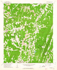
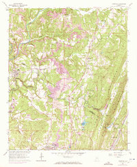
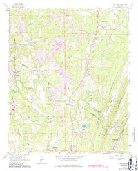
Editions of this 1961 Trafford Map
5 editions found
Other maps of this area

1889 · Birmingham
USGS Topo · 1:125,000

1892 · Birmingham
USGS Topo · 1:125,000

1895 · Birmingham
USGS Topo · 1:125,000

1904 · Birmingham Coal District
USGS Topo · 1:62,500

1905 · Leeds
USGS Topo · 1:62,500

1906 · Birmingham Special
USGS Topo · 1:62,500

1907 · Birmingham
USGS Topo · 1:125,000

1907 · Leeds
USGS Topo · 1:62,500

1951 · Warrior
USGS Topo · 1:24,000

1951 · Blount Springs
USGS Topo · 1:24,000