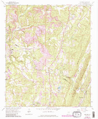
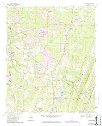
1961 Map of Trafford
USGS Topo · Published 1986About this map
Locust Fork defines the western edge of this Alabama landscape, where the Seaboard rail line and the County Line between Blount and Jefferson counties shape the region's development. Rural life in the mid-20th century is centered around community hubs like Bradford (Dixiana PO) and Trafford, supported by a network of local institutions including Sterling Sch and several country churches like Bethlehem Ch and Holston Chapel.
Find a feature on this map
45 named features on this map. Tap any name to fly to it.
Don’t see what you’re looking for? This feature index may not catch every label — zoom into the map to look around manually.
Map Details
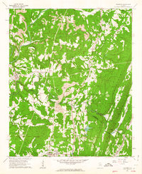
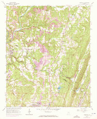
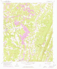
Editions of this 1961 Trafford Map
5 editions found
Other maps of this area

1889 · Birmingham
USGS Topo · 1:125,000

1892 · Birmingham
USGS Topo · 1:125,000

1895 · Birmingham
USGS Topo · 1:125,000

1904 · Birmingham Coal District
USGS Topo · 1:62,500

1905 · Leeds
USGS Topo · 1:62,500

1906 · Birmingham Special
USGS Topo · 1:62,500

1907 · Birmingham
USGS Topo · 1:125,000

1907 · Leeds
USGS Topo · 1:62,500

1951 · Warrior
USGS Topo · 1:24,000

1951 · Blount Springs
USGS Topo · 1:24,000