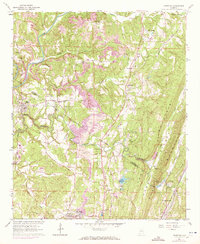
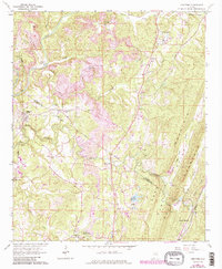
1961 Map of Trafford
USGS Topo · Published 1971About this map
Sand Mountain dominates the eastern horizon of this Jefferson and Blount County landscape, where the ridge and valley system creates a series of parallel features like Sand Ridge and Gravelly Ridge. Between these heights, the Louisville and Nashville railroad tracks follow the low ground through Village Springs, connecting local industry to the wider region. The prevalence of multiple Strip Mine operations scattered across the central hills reflects the area's coal-producing character during the mid-20th century.
Find a feature on this map
42 named features on this map. Tap any name to fly to it.
Don’t see what you’re looking for? This feature index may not catch every label — zoom into the map to look around manually.
Map Details
Editions of this 1961 Trafford Map
5 editions found
Other maps of this area

1889 · Birmingham
USGS Topo · 1:125,000

1892 · Birmingham
USGS Topo · 1:125,000

1895 · Birmingham
USGS Topo · 1:125,000

1904 · Birmingham Coal District
USGS Topo · 1:62,500

1905 · Leeds
USGS Topo · 1:62,500

1906 · Birmingham Special
USGS Topo · 1:62,500

1907 · Birmingham
USGS Topo · 1:125,000

1907 · Leeds
USGS Topo · 1:62,500

1951 · Warrior
USGS Topo · 1:24,000

1951 · Blount Springs
USGS Topo · 1:24,000