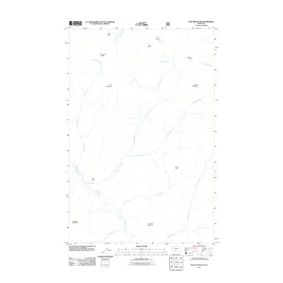
2011 Map of Trap Mountain
USGS Topo · Published 2011About this map
Trap Mountain and the surrounding Lewis and Clark County wilderness are defined by a network of drainage basins and high-altitude passes in this 2011 survey. The landscape is characterized by a series of prominent peaks and ridgelines, including Sentinel Mountain, Woodtick Mountain, and Ayres Peak, which serve as the headwaters for numerous high-country streams. The convergence of Basin Creek and Danaher Creek occurs near a low-lying area simply identified as The Basin, a notable geographical feature in an otherwise high-relief environment.
Find a feature on this map
21 named features on this map. Tap any name to fly to it.
Don’t see what you’re looking for? This feature index may not catch every label — zoom into the map to look around manually.
Map Details
Editions of this 2011 Trap Mountain Map
This is the sole edition of this map. No revisions or reprints were ever made.
Other maps of this area

1902 · Ovando
USGS Topo · 1:125,000

1903 · Saypo
USGS Topo · 1:125,000

1903 · Coopers Lake
USGS Topo · 1:125,000

1905 · Ovando
USGS Topo · 1:125,000

1936 · Silvertip
USGS Topo · 1:96,000

1942 · Silvertip
USGS Topo · 1:125,000

1955 · Choteau
USGS Topo · 1:250,000

1957 · Choteau
USGS Topo · 1:250,000

1958 · Choteau
USGS Topo · 1:250,000

1958 · Pretty Prairie
USGS Topo · 1:24,000