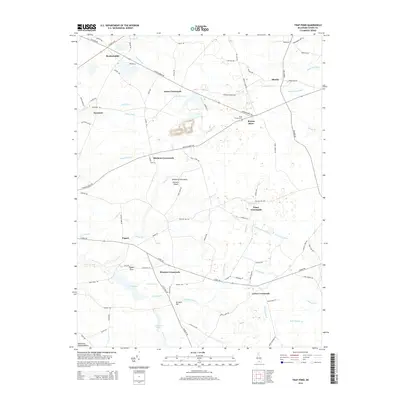
2014 Map of Trap Pond
USGS Topo · Published 2014About this map
Bryans Store and Hardscrabble anchor this 2014 landscape in Sussex County, where the low-lying terrain of the Delmarva Peninsula Eastern Shore is defined by an intricate network of drainage ditches and branches. The southern portion of the map is dominated by the wetlands and waters of Trap Pond and Trussum Pond, surrounded by the Pepper Tract. The region's history as a hub for local transport and commerce is reflected in the numerous named junctions, such as Hitchens Crossroads, Whaleys Crossroads, and Lowes Crossroads. Genealogists and local historians can locate Saint Thomas Cem near Bryans Store or trace family property lines along the many named rural routes like Messick Rd and Shiloh Church Rd. The prevalence of features like Hill Savannah Ditch and Long Drain Ditch highlights the continuous effort to manage the water levels across this agricultural and forested terrain.
Find a feature on this map
90 named features on this map. Tap any name to fly to it.
Don’t see what you’re looking for? This feature index may not catch every label — zoom into the map to look around manually.
Map Details
Editions of this 2014 Trap Pond Map
This is the sole edition of this map. No revisions or reprints were ever made.
Other maps of this area

1901 · Salisbury
USGS Topo · 1:62,500

1902 · Pittsville
USGS Topo · 1:62,500

1915 · Seaford
USGS Topo · 1:62,500

1917 · Millsboro
USGS Topo · 1:62,500

1938 · Millsboro
USGS Topo · 1:62,500

1942 · Whaleysville
USGS Topo · 1:24,000

1942 · Delmar
USGS Topo · 1:24,000

1942 · Pittsville
USGS Topo · 1:24,000
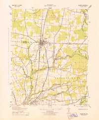
1943 · Delmar
USGS Topo · 1:31,680
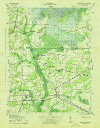
1943 · Whaleysville
USGS Topo · 1:31,680