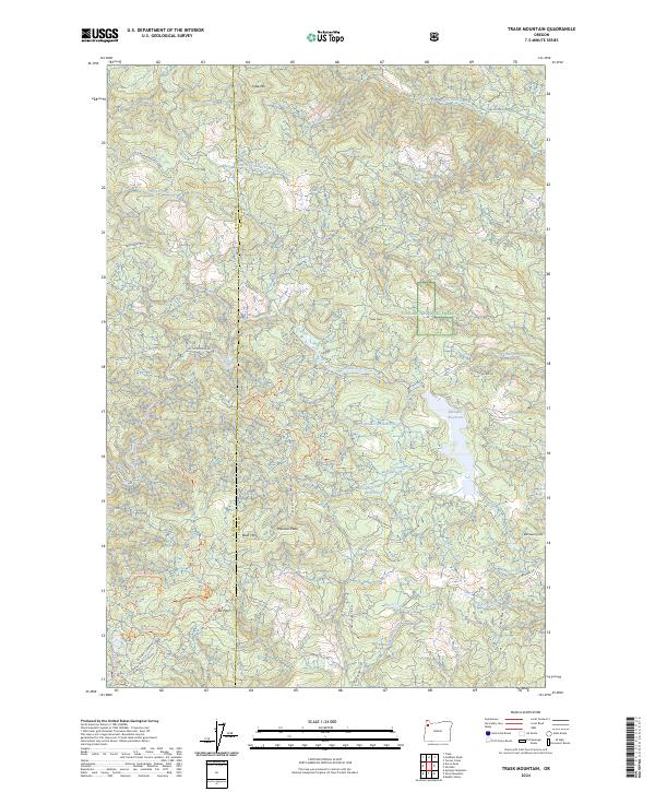
2024 Map of Trask Mountain
USGS Topo · Published 2024About this map
The boundary between Tillamook Co and Yamhill Co cuts through a high-elevation landscape defined by the upper reaches of the Nestucca River and North Yamhill River. This 2024 survey documents the complex watershed management and recreational infrastructure within the Suislaw National Forest. Key water resources like McGuire Reservoir and Such-Joja Reservoir are prominent, serving as focal points for the surrounding topography.
Find a feature on this map
63 named features on this map. Tap any name to fly to it.
Don’t see what you’re looking for? This feature index may not catch every label — zoom into the map to look around manually.
Map Details
Editions of this 2024 Trask Mountain Map
This is the sole edition of this map. No revisions or reprints were ever made.
Historical Maps of Yamhill County Through Time
21 maps found

1924 Mc Minnville
Yamhill County, OR
1926 Mc Minnville
Yamhill County, OR

1942 Fairdale
Yamhill County, OR

1942 Spirit Mtn
Yamhill County, OR
1955 Fairdale
Yamhill County, OR
1957 Mc Minnville
Yamhill County, OR
1979 Fairdale
Yamhill County, OR
1979 Midway
Yamhill County, OR
1979 Muddy Valley
Yamhill County, OR
1979 Niagara Creek
Yamhill County, OR
1979 Springer Mtn
Yamhill County, OR
1979 Stony Mountain
Yamhill County, OR
1979 Trask Mtn
Yamhill County, OR
1980 Yamhill River
Yamhill County, OR
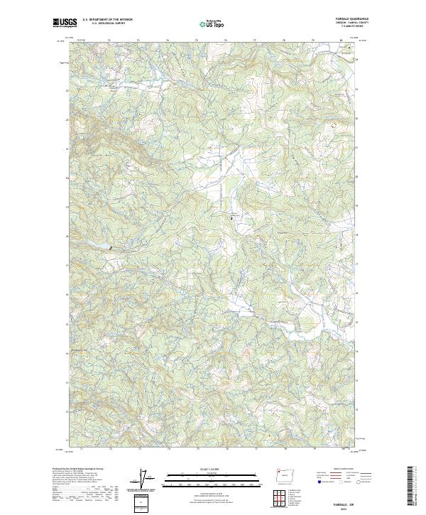
2023 Fairdale
Yamhill County, OR
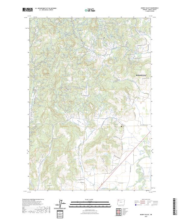
2023 Muddy Valley
Yamhill County, OR
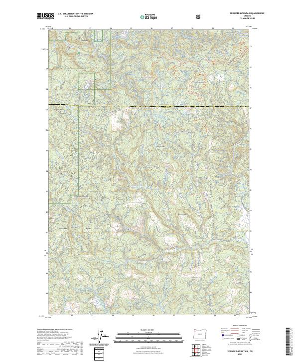
2023 Springer Mountain
Yamhill County, OR
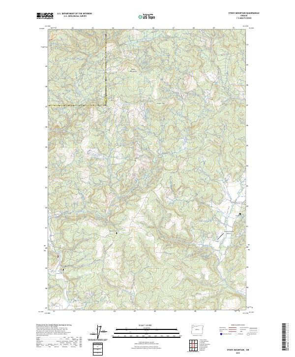
2023 Stony Mountain
Yamhill County, OR
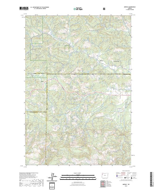
2024 Midway
Yamhill County, OR
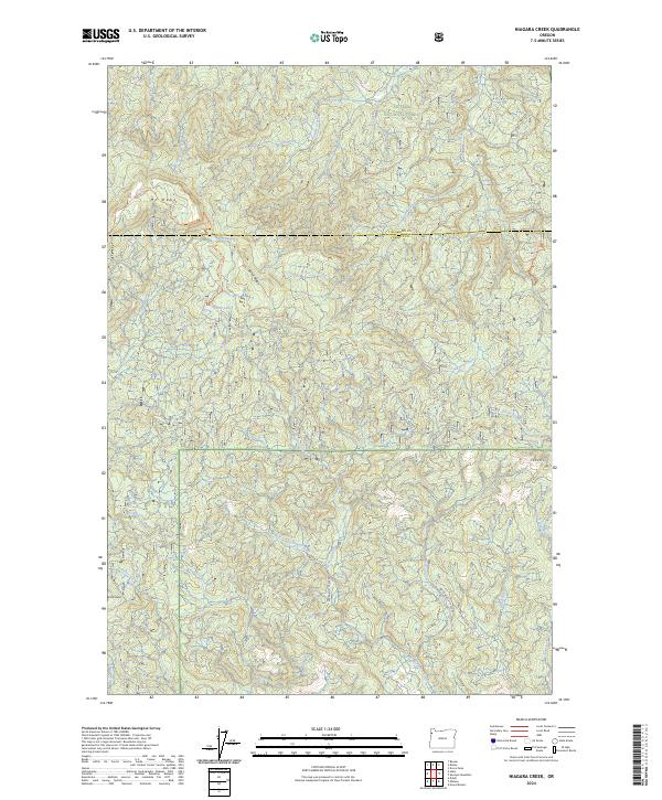
2024 Niagara Creek
Yamhill County, OR
2024 Trask Mountain
Yamhill County, OR