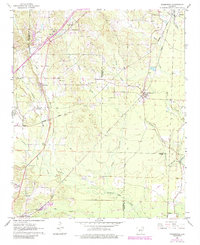
1963 Map of Traskwood
USGS Topo · Published 1984About this map
Missouri Pacific rail lines anchor the local economy of this Central Arkansas landscape, connecting the clustered settlements of Traskwood and Haskell to the broader regional trade network. The map reveals a community defined by its rural infrastructure, from the small Gifford Sch and the County Library to numerous spiritual centers like Zion Hill Ch and Holy Ridge Ch. These institutions, alongside several cemeteries, provide essential touchpoints for genealogical research in Saline and Hot Spring counties.
Find a feature on this map
39 named features on this map. Tap any name to fly to it.
Don’t see what you’re looking for? This feature index may not catch every label — zoom into the map to look around manually.
Map Details
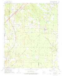
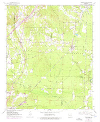
Editions of this 1963 Traskwood Map
4 editions found

Other maps of this area

1890 · Benton
USGS Topo · 1:125,000

1894 · Benton
USGS Topo · 1:125,000

1938 · Benton
USGS Topo · 1:48,000

1944 · Benton
USGS Topo · 1:62,500

1944 · Benton
USGS Topo · 1:31,680

1948 · Malvern
USGS Topo · 1:62,500

1949 · Malvern
USGS Topo · 1:62,500

1955 · Little Rock
USGS Topo · 1:250,000

1956 · Little Rock
USGS Topo · 1:250,000

1960 · Little Rock
USGS Topo · 1:250,000