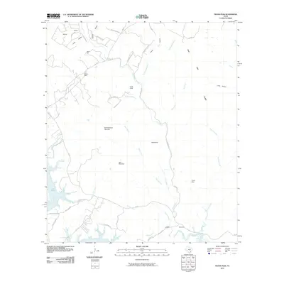
2010 Map of Travis Peak
USGS Topo · Published 2010About this map
Travis Peak and the surrounding Hill Country terrain define this 2010 survey, where the Colorado River feeds into the winding northern reaches of Lake Travis. The landscape is characterized by a complex network of creeks and ridges, including Post Oak Creek, Sulphur Creek, and the prominent Cow Creek Ridge. These waterways have carved deep local landmarks such as Devils Hollow and Long Hollow into the limestone topography.
Find a feature on this map
49 named features on this map. Tap any name to fly to it.
Don’t see what you’re looking for? This feature index may not catch every label — zoom into the map to look around manually.
Map Details
Editions of this 2010 Travis Peak Map
This is the sole edition of this map. No revisions or reprints were ever made.
Other maps of this area

1887 · Blanco
USGS Topo · 1:125,000

1887 · Burnet
USGS Topo · 1:125,000

1893 · Georgetown
USGS Topo · 1:125,000

1893 · Burnet
USGS Topo · 1:125,000

1894 · Blanco
USGS Topo · 1:125,000

1896 · Austin
USGS Topo · 1:125,000

1897 · Austin
USGS Topo · 1:125,000

1903 · Burnet
USGS Topo · 1:125,000

1909 · Burnet
USGS Topo · 1:125,000

1910 · Austin
USGS Topo · 1:125,000