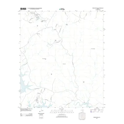
2012 Map of Travis Peak
USGS Topo · Published 2012About this map
Lake Travis dominates the southwestern corner of this landscape, its winding shoreline carving deep into the Texas Hill Country terrain. The topography is defined by significant elevations such as Travis Peak, Boultinghouse Mtn, and Bald Mtn, which rise above a network of seasonal drainages including Cow Cr, Sulphur Cr, and Negro Br. The drainage patterns suggest a landscape of limestone ridges and valleys, with named landmarks like Chalk Knob and Post Oak Ridge providing clear navigational points for researchers of the local geography.
Find a feature on this map
55 named features on this map. Tap any name to fly to it.
Don’t see what you’re looking for? This feature index may not catch every label — zoom into the map to look around manually.
Map Details
Editions of this 2012 Travis Peak Map
This is the sole edition of this map. No revisions or reprints were ever made.
Other maps of this area

1887 · Blanco
USGS Topo · 1:125,000

1887 · Burnet
USGS Topo · 1:125,000

1893 · Georgetown
USGS Topo · 1:125,000

1893 · Burnet
USGS Topo · 1:125,000

1894 · Blanco
USGS Topo · 1:125,000

1896 · Austin
USGS Topo · 1:125,000

1897 · Austin
USGS Topo · 1:125,000

1903 · Burnet
USGS Topo · 1:125,000

1909 · Burnet
USGS Topo · 1:125,000

1910 · Austin
USGS Topo · 1:125,000