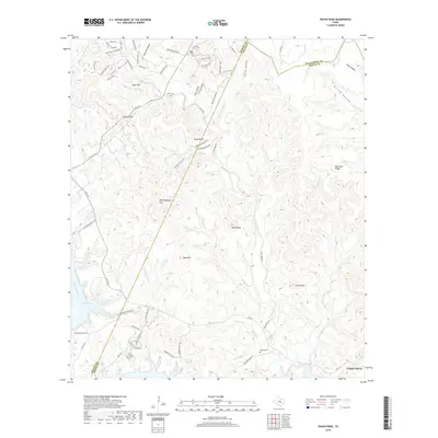
2019 Map of Travis Peak
USGS Topo · Published 2019About this map
Lake Travis and the winding course of the Colorado River dominate the southwestern portion of this landscape, where the terrain rises sharply into the Balcones Escarpment. This 2019 survey captures the development at Lago Vista alongside the high, dissected plateaus of the Texas Hill Country. The map reveals a transition from suburban expansion near the water to the traditional ranching lands and rugged summits like Boultinghouse Mtn, Bald Mtn, and the eponymous Travis Peak. Significant family and local history is preserved in the locations of the Heine Cem near Tater Hill and the Hansel Cem along Sulphur Cr. The complex drainage network, including Cow Cr and Post-Oak Cr, illustrates the deeply eroded limestone topography that defines this section of the Burnet and Travis county line.
Find a feature on this map
74 named features on this map. Tap any name to fly to it.
Don’t see what you’re looking for? This feature index may not catch every label — zoom into the map to look around manually.
Map Details
Editions of this 2019 Travis Peak Map
This is the sole edition of this map. No revisions or reprints were ever made.
Other maps of this area

1887 · Blanco
USGS Topo · 1:125,000

1887 · Burnet
USGS Topo · 1:125,000

1893 · Georgetown
USGS Topo · 1:125,000

1893 · Burnet
USGS Topo · 1:125,000

1894 · Blanco
USGS Topo · 1:125,000

1896 · Austin
USGS Topo · 1:125,000

1897 · Austin
USGS Topo · 1:125,000

1903 · Burnet
USGS Topo · 1:125,000

1909 · Burnet
USGS Topo · 1:125,000

1910 · Austin
USGS Topo · 1:125,000