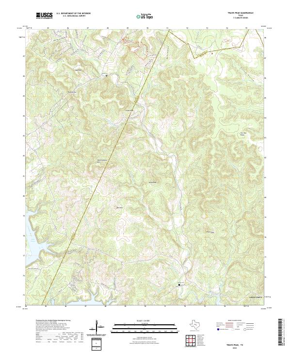
2022 Map of Travis Peak
USGS Topo · Published 2022About this map
Boultinghouse Mtn and Bald Mtn rise above a landscape defined by the winding drainages of the Texas Hill Country, where the borders of Burnet, Travis, and Williamson counties converge. This 2022 survey captures the area as the waters of the Colorado River expand into Lake Travis, creating a complex shoreline near Lago Vista. The settlement at Travis Peak remains a focal point for researchers interested in the rural history of the Balcones Escarpment region.
Find a feature on this map
66 named features on this map. Tap any name to fly to it.
Don’t see what you’re looking for? This feature index may not catch every label — zoom into the map to look around manually.
Map Details
Editions of this 2022 Travis Peak Map
This is the sole edition of this map. No revisions or reprints were ever made.
Other maps of this area

1887 · Blanco
USGS Topo · 1:125,000

1887 · Burnet
USGS Topo · 1:125,000

1893 · Georgetown
USGS Topo · 1:125,000

1893 · Burnet
USGS Topo · 1:125,000

1894 · Blanco
USGS Topo · 1:125,000

1896 · Austin
USGS Topo · 1:125,000

1897 · Austin
USGS Topo · 1:125,000

1903 · Burnet
USGS Topo · 1:125,000

1909 · Burnet
USGS Topo · 1:125,000

1910 · Austin
USGS Topo · 1:125,000