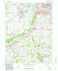
1966 Map of Trenton
USGS Topo · Published 1983About this map
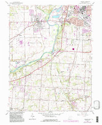
The Great Miami River anchors this mid-century view of Butler County, flowing past a series of established industrial and residential corridors. To the west, Trenton is defined by its grid and proximity to the Baltimore and Ohio railroad, while the eastern banks show the expansion of Middletown and Monroe. The map reveals the intricate land divisions between the Miami River Survey and the Symmes Purchase, visible in the shifting orientations of the local road network.
Find a feature on this map
71 named features on this map. Tap any name to fly to it.
Don’t see what you’re looking for? This feature index may not catch every label — zoom into the map to look around manually.
Map Details
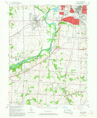
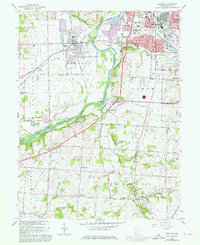
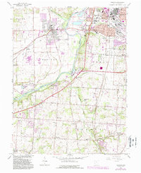
Editions of this 1966 Trenton Map
5 editions found
Other maps of this area

1904 · Mason
USGS Topo · 1:62,500

1906 · Mason
USGS Topo · 1:62,500

1908 · Miamisburg
USGS Topo · 1:62,500

1911 · Oxford
USGS Topo · 1:62,500

1915 · Hamilton
USGS Topo · 1:62,500

1917 · Hamilton
USGS Topo · 1:62,500

1951 · Franklin
USGS Topo · 1:24,000

1953 · Cincinnati
USGS Topo · 1:250,000

1955 · Monroe
USGS Topo · 1:24,000

1955 · Hamilton
USGS Topo · 1:24,000