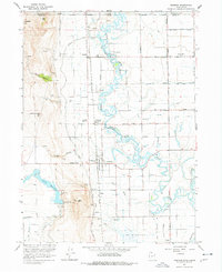
1964 Map of Trenton
USGS Topo · Published 1978About this map
The meandering Bear River dominates this mid-1960s landscape, winding through a valley defined by the Idaho-Utah border and extensive irrigation systems. Small agricultural settlements like Cornish, Lewiston, and Trenton serve as anchors for the local community, which is connected by the Union Pacific railroad and a grid of secondary roads like West Cache Road. The map reveals a highly managed hydrologic environment, from the Newton Reservoir and the Newton Dam Spillway to a complex network of canals, including the West Central Canal and the Amalga Branch Canal.
Find a feature on this map
57 named features on this map. Tap any name to fly to it.
Don’t see what you’re looking for? This feature index may not catch every label — zoom into the map to look around manually.
Map Details
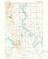
Editions of this 1964 Trenton Map
2 editions found
Other maps of this area

1914 · Logan
USGS Topo · 1:125,000

1915 · Preston
USGS Topo · 1:96,000

1916 · Logan
USGS Topo · 1:125,000

1918 · Preston
USGS Topo · 1:125,000

1954 · Pocatello
USGS Topo · 1:250,000

1954 · Ogden
USGS Topo · 1:250,000

1954 · Brigham City
USGS Topo · 1:250,000

1955 · Preston
USGS Topo · 1:250,000

1958 · Ogden
USGS Topo · 1:250,000

1958 · Pocatello
USGS Topo · 1:250,000