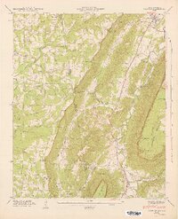
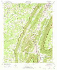
1946 Map of Trenton
USGS Topo · Published 1947About this map
Lookout Mountain and Pudding Ridge dominate the landscape of the Georgia-Alabama border shortly after the war, showing a region defined by steep terrain and valley agriculture. The valley floor is anchored by Trenton and Rising Fawn, where the Southern railroad provides the primary transportation artery alongside Lookout Creek. A network of family-named cemeteries and rural churches, such as Daniel Cem, Countess Cem, and Byrds Chapel, are scattered through the gaps and coves, reflecting the generational settlement patterns of the Lookout Valley. The map captures a transition of jurisdiction as it crosses the Alabama Georgia state line and the intersection of Jackson and De Kalb counties. Unique mountain features like Magnic Gap and Deer Head Cove illustrate how the geography dictated the placement of small communities like Stewart Town and Floral Crest.
Find a feature on this map
58 named features on this map. Tap any name to fly to it.
Don’t see what you’re looking for? This feature index may not catch every label — zoom into the map to look around manually.
Map Details
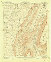
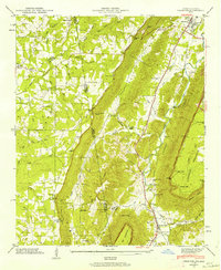
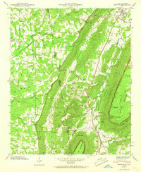
Editions of this 1946 Trenton Map
5 editions found
Other maps of this area

1886 · Ringgold
USGS Topo · 1:125,000

1886 · Stevenson
USGS Topo · 1:125,000

1892 · Ringgold
USGS Topo · 1:125,000

1892 · Stevenson
USGS Topo · 1:125,000

1895 · Stevenson
USGS Topo · 1:125,000

1935 · Durham
USGS Topo · 1:24,000

1936 · Trenton
USGS Topo · 1:24,000

1936 · Ider
USGS Topo · 1:24,000

1936 · Shellmound
USGS Topo · 1:24,000

1936 · Bridgeport
USGS Topo · 1:24,000