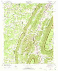
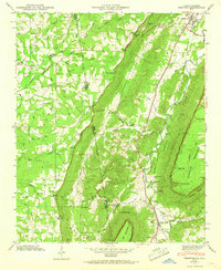
1946 Map of Trenton
USGS Topo · Published 1975About this map
Lookout Mountain and Pudding Ridge dominate the landscape of Dade County as it appeared mid-century, where the Southern RR tracks run parallel to Lookout Creek through the valley floor. This 1946 field examination, later photorevised in 1972, documents a region defined by its steep gaps and narrow hollows, such as Magnic Gap, Payne Gap, and Easley Gap. The topography dictates the placement of early settlements like Trenton and Rising Fawn, along with smaller communities such as Stewart Town. Numerous family-named landmarks and rural institutions are visible, including Byrds Chapel, Floral Crest Ch, and several well-placed burial grounds like Countess Cem and Newman Cem. The map provides a detailed look at the interstate borderlands where Alabama's DeKalb County meets Georgia, showing how natural features like Deer Head Cove and Stewart Gulch shaped the movement and settlement patterns of this Appalachian corridor.
Find a feature on this map
51 named features on this map. Tap any name to fly to it.
Don’t see what you’re looking for? This feature index may not catch every label — zoom into the map to look around manually.
Map Details
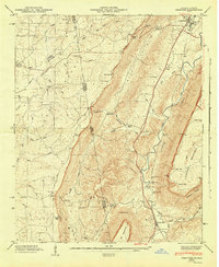
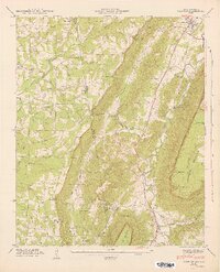
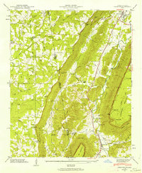
Editions of this 1946 Trenton Map
5 editions found
Other maps of this area

1886 · Ringgold
USGS Topo · 1:125,000

1886 · Stevenson
USGS Topo · 1:125,000

1892 · Ringgold
USGS Topo · 1:125,000

1892 · Stevenson
USGS Topo · 1:125,000

1895 · Stevenson
USGS Topo · 1:125,000

1935 · Durham
USGS Topo · 1:24,000

1936 · Trenton
USGS Topo · 1:24,000

1936 · Ider
USGS Topo · 1:24,000

1936 · Shellmound
USGS Topo · 1:24,000

1936 · Bridgeport
USGS Topo · 1:24,000