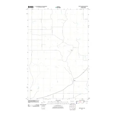
2011 Map of Trenton SW
USGS Topo · Published 2011About this map
Marley sits along the southeastern edge of this northern Williams County landscape, where the prairie is defined by a series of south-flowing drainage systems. The terrain is structured by a grid of rural roads including 48th St NW and 150th Ave NW, which navigate the various coulees and plains typical of this portion of North Dakota. In the southwest corner, the Buford Cemetery provides a specific point of genealogical interest, situated near the headwaters of seasonal draws. The map illustrates the sparsely populated ranching character of the region, notably through the placement of A Jellesed Ranch near the center of the sheet. Three primary waterways—Eightmile Creek, Sixmile Creek, and Horse Tied Creek—carve through the landscape, dictating the local topography and the placement of rural infrastructure like Route 1804 in the south.
Find a feature on this map
19 named features on this map. Tap any name to fly to it.
Don’t see what you’re looking for? This feature index may not catch every label — zoom into the map to look around manually.
Map Details
Editions of this 2011 Trenton SW Map
This is the sole edition of this map. No revisions or reprints were ever made.
Other maps of this area

1909 · Glendive
USGS Topo · 1:250,000

1953 · Williston
USGS Topo · 1:250,000

1953 · Watford City
USGS Topo · 1:250,000

1954 · Glendive
USGS Topo · 1:250,000

1954 · Wolf Point
USGS Topo · 1:250,000

1957 · Glendive
USGS Topo · 1:250,000

1957 · Williston
USGS Topo · 1:250,000

1957 · Watford City
USGS Topo · 1:250,000

1958 · Wolf Point
USGS Topo · 1:250,000

1958 · Glendive
USGS Topo · 1:250,000