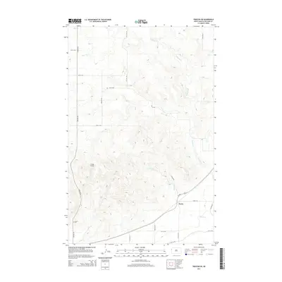
2014 Map of Trenton SW
USGS Topo · Published 2014About this map
Marley sits along the southern edge of this landscape, where the prairie topography of Williams County is defined by a series of significant drainages. The land is dissected by Eightmile Cr, Sixmile Cr, and Horse Tied Cr, which have carved deep valleys and coulees into the high plains. One of the most prominent of these geological formations is Figley Coulee, a landform that illustrates the erosional forces typical of this region north of the Missouri River.
Find a feature on this map
23 named features on this map. Tap any name to fly to it.
Don’t see what you’re looking for? This feature index may not catch every label — zoom into the map to look around manually.
Map Details
Editions of this 2014 Trenton SW Map
This is the sole edition of this map. No revisions or reprints were ever made.
Other maps of this area

1909 · Glendive
USGS Topo · 1:250,000

1953 · Williston
USGS Topo · 1:250,000

1953 · Watford City
USGS Topo · 1:250,000

1954 · Glendive
USGS Topo · 1:250,000

1954 · Wolf Point
USGS Topo · 1:250,000

1957 · Glendive
USGS Topo · 1:250,000

1957 · Williston
USGS Topo · 1:250,000

1957 · Watford City
USGS Topo · 1:250,000

1958 · Wolf Point
USGS Topo · 1:250,000

1958 · Glendive
USGS Topo · 1:250,000