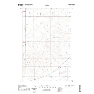
2020 Map of Trenton SW
USGS Topo · Published 2020About this map
Marley sits along the southern edge of this Williams County landscape, where the northern high plains are deeply dissected by a network of drainage channels. The terrain is defined by the winding course of Sixmile Cr as it cuts through the township sections, joined by the distinctive Figley Coulee to the west. This 2020 record captures the precise rural grid of the area, established by numerous county and township roads like Co RD 2 and 48th St NW. For those tracing local history or family ties, the map identifies the Buford Cem in the southwest, a specific point of reference in this sparsely settled region. To the north, Horse Tied Cr and Eightmile Cr further illustrate the natural water patterns that have historically shaped land use and ranching boundaries in this part of North Dakota.
Find a feature on this map
27 named features on this map. Tap any name to fly to it.
Don’t see what you’re looking for? This feature index may not catch every label — zoom into the map to look around manually.
Map Details
Editions of this 2020 Trenton SW Map
This is the sole edition of this map. No revisions or reprints were ever made.
Other maps of this area

1909 · Glendive
USGS Topo · 1:250,000

1953 · Williston
USGS Topo · 1:250,000

1953 · Watford City
USGS Topo · 1:250,000

1954 · Glendive
USGS Topo · 1:250,000

1954 · Wolf Point
USGS Topo · 1:250,000

1957 · Glendive
USGS Topo · 1:250,000

1957 · Williston
USGS Topo · 1:250,000

1957 · Watford City
USGS Topo · 1:250,000

1958 · Wolf Point
USGS Topo · 1:250,000

1958 · Glendive
USGS Topo · 1:250,000