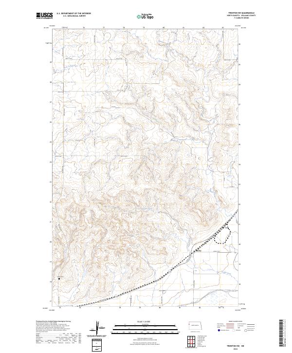
2024 Map of Trenton SW
USGS Topo · Published 2024About this map
Sixmile Creek and its many winding tributaries define the topography of this corner of Williams County, creating a deeply dissected landscape of ridges and draws. In the southern portion of the map, the Williams County Waterfowl Production Area preserves a significant wetland habitat, characterized by the scattered prairie potholes typical of the region. The small settlement of Marley sits near the intersection of 42nd St NW and 143rd Ave NW, serving as a focal point for the surrounding rural section lines.
Find a feature on this map
27 named features on this map. Tap any name to fly to it.
Don’t see what you’re looking for? This feature index may not catch every label — zoom into the map to look around manually.
Map Details
Editions of this 2024 Trenton SW Map
This is the sole edition of this map. No revisions or reprints were ever made.
Other maps of this area

1909 · Glendive
USGS Topo · 1:250,000

1953 · Williston
USGS Topo · 1:250,000

1953 · Watford City
USGS Topo · 1:250,000

1954 · Glendive
USGS Topo · 1:250,000

1954 · Wolf Point
USGS Topo · 1:250,000

1957 · Glendive
USGS Topo · 1:250,000

1957 · Williston
USGS Topo · 1:250,000

1957 · Watford City
USGS Topo · 1:250,000

1958 · Wolf Point
USGS Topo · 1:250,000

1958 · Glendive
USGS Topo · 1:250,000