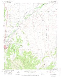
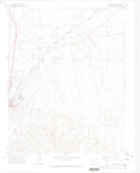
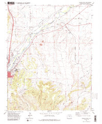
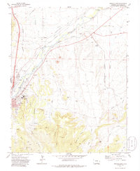
1971 Map of Trinidad East
USGS Topo · Published 1974About this map
Trinidad sits at a critical intersection of Southwestern history, where the winding Purgatoire River met the legendary Santa Fe Trail. By the early 1970s, this landscape revealed a complex overlay of industrial and frontier legacies, from the commercial corridor of the Atchison Topeka and Santa Fe Railroad to the smaller settlements of El Moro and Beshoar. The rugged southern terrain is marked by a history of coal extraction, visible in the locations of the Engleville Mine and Highline Mine, which supported the regional economy for decades.
Find a feature on this map
50 named features on this map. Tap any name to fly to it.
Don’t see what you’re looking for? This feature index may not catch every label — zoom into the map to look around manually.
Map Details
Editions of this 1971 Trinidad East Map
4 editions found
Other maps of this area

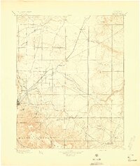
1891 · Spanish Peaks
USGS Topo · 1:125,000

1892 · Elmoro
USGS Topo · 1:125,000

1893 · Spanish Peaks
USGS Topo · 1:125,000

1893 · Elmoro
USGS Topo · 1:125,000

1895 · Spanish Peaks
USGS Topo · 1:125,000
1897 · Elmoro
USGS Topo · 1:125,000

1897 · Spanish Peaks
USGS Topo · 1:125,000

1900 · Spanish Peaks
USGS Topo · 1:125,000
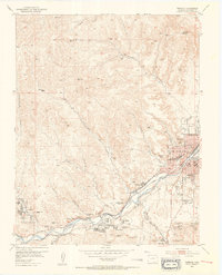
1951 · Trinidad
USGS Topo · 1:24,000
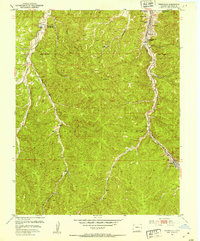
1951 · Starkville
USGS Topo · 1:24,000