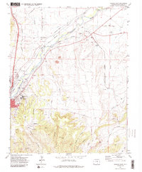
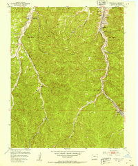
1971 Map of Trinidad East
USGS Topo · Published 1986About this map
The Purgatoire River carves a deep valley through the high plains of southern Colorado, anchoring a landscape shaped by coal mining and transport. In the shadow of Pio Hill, the city of Trinidad serves as the regional hub, flanked by the industrial outposts of Engleville and El Moro. The terrain south of the river is dense with mining history, featuring the Highline Mine and Engleville Mine, while the canyon-cut highlands are marked by features like Number Six Canyon and Eagle Rock.
Find a feature on this map
57 named features on this map. Tap any name to fly to it.
Don’t see what you’re looking for? This feature index may not catch every label — zoom into the map to look around manually.
Map Details
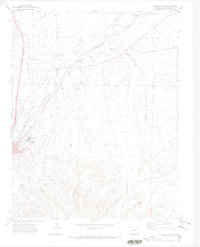
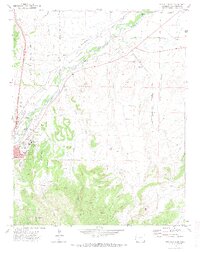
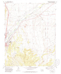
Editions of this 1971 Trinidad East Map
4 editions found
Other maps of this area

1891 · Spanish Peaks
USGS Topo · 1:125,000

1892 · Elmoro
USGS Topo · 1:125,000

1893 · Spanish Peaks
USGS Topo · 1:125,000

1893 · Elmoro
USGS Topo · 1:125,000

1895 · Spanish Peaks
USGS Topo · 1:125,000

1897 · Elmoro
USGS Topo · 1:125,000

1897 · Spanish Peaks
USGS Topo · 1:125,000

1900 · Spanish Peaks
USGS Topo · 1:125,000

1951 · Trinidad
USGS Topo · 1:24,000
1951 · Starkville
USGS Topo · 1:24,000