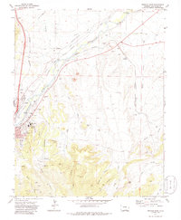
1971 Map of Trinidad East
USGS Topo · Published 1986About this map
Industrial and spiritual landmarks define Trinidad in the early 1970s, where the city's western edge meets the canyons of the Purgatoire River. The landscape is etched with the history of the coal and rail industries, notably the Old Railroad Grade and the Engleville settlement, which sits near the Highline Mine and its namesake Engleville Canyon. On the slopes of Pio Hill, the Ave Maria Shrine and Mt San Rafael Hospital overlook the valley, while the historic Santa Fe Trail runs alongside the Atchison Topeka and Santa Fe Railroad. Several family-named cemeteries, such as Mestas Cem and Valdez Cem, are scattered across the mesas near Beshoar and El Moro, marking the ancestral heritage of Las Animas County. Downstream, the Purgatoire River supports agricultural infrastructure including a Gaging Sta and multiple intakes near the Colorado and Southern Railroad.
Find a feature on this map
43 named features on this map. Tap any name to fly to it.
Don’t see what you’re looking for? This feature index may not catch every label — zoom into the map to look around manually.
Map Details
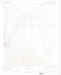
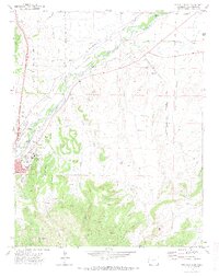
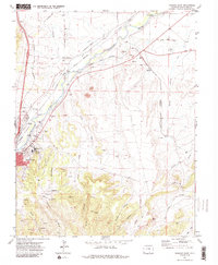
Editions of this 1971 Trinidad East Map
4 editions found
Other maps of this area

1891 · Spanish Peaks
USGS Topo · 1:125,000

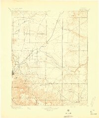
1892 · Elmoro
USGS Topo · 1:125,000

1893 · Spanish Peaks
USGS Topo · 1:125,000

1893 · Elmoro
USGS Topo · 1:125,000

1895 · Spanish Peaks
USGS Topo · 1:125,000
1897 · Elmoro
USGS Topo · 1:125,000

1897 · Spanish Peaks
USGS Topo · 1:125,000

1900 · Spanish Peaks
USGS Topo · 1:125,000
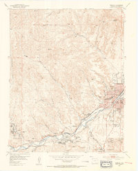
1951 · Trinidad
USGS Topo · 1:24,000
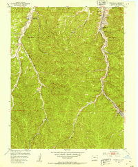
1951 · Starkville
USGS Topo · 1:24,000