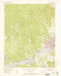
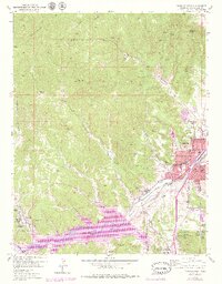
1951 Map of Trinidad
USGS Topo · Published 1953About this map
The Purgatoire River, also labeled here as the Picketwire River, serves as the industrial and transit spine for this coal-mining region in the early 1950s. The city of Trinidad dominates the eastern landscape, featuring landmarks like Simpsons Rest, Trinidad State Jr College, and Trinidad High Sch. Along the river valley, a dense network of mining settlements and company infrastructure is visible, including Cokedale, Sopris, and Starkville.
Find a feature on this map
68 named features on this map. Tap any name to fly to it.
Don’t see what you’re looking for? This feature index may not catch every label — zoom into the map to look around manually.
Map Details
Editions of this 1951 Trinidad Map
6 editions found
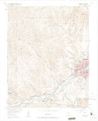
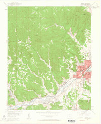
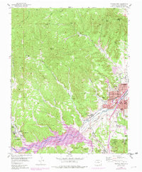
Other maps of this area

1891 · Spanish Peaks
USGS Topo · 1:125,000

1892 · Elmoro
USGS Topo · 1:125,000

1893 · Spanish Peaks
USGS Topo · 1:125,000

1893 · Elmoro
USGS Topo · 1:125,000

1895 · Spanish Peaks
USGS Topo · 1:125,000

1897 · Elmoro
USGS Topo · 1:125,000

1897 · Spanish Peaks
USGS Topo · 1:125,000

1900 · Spanish Peaks
USGS Topo · 1:125,000

1951 · Trinidad
USGS Topo · 1:24,000

1951 · Valdez
USGS Topo · 1:24,000