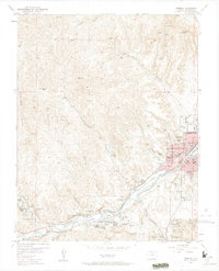
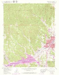
1951 Map of Trinidad
USGS Topo · Published 1964About this map
Trinidad serves as the industrial and transport hub of this Las Animas County landscape, where the Purgatoire River valley (also labeled the Picketwire) dictates the placement of towns and transit. The map documents an intensive mining history, with dozens of inactive sites like the Peacock Coal Mine, Main Cokedale Mine (inactive), and the Starkville Mine (inactive) dotting the canyons. The coal-driven economy of the early 20th century is etched into the landscape through company-related settlements like Cokedale, Sopris, and Starkville. Within the city, landmarks such as Trinidad State Jr College, St Josephs Church, and the distinctive Simpsons Rest overlook a dense rail network. The dual presence of the Colorado and Southern and the Atchison Topeka and Santa Fe railroads through the river valley underscores the area's significance as a major Southwestern shipping corridor.
Find a feature on this map
59 named features on this map. Tap any name to fly to it.
Don’t see what you’re looking for? This feature index may not catch every label — zoom into the map to look around manually.
Map Details
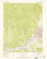
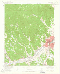
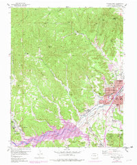
Editions of this 1951 Trinidad Map
6 editions found
Other maps of this area

1891 · Spanish Peaks
USGS Topo · 1:125,000

1892 · Elmoro
USGS Topo · 1:125,000

1893 · Spanish Peaks
USGS Topo · 1:125,000

1893 · Elmoro
USGS Topo · 1:125,000

1895 · Spanish Peaks
USGS Topo · 1:125,000

1897 · Elmoro
USGS Topo · 1:125,000

1897 · Spanish Peaks
USGS Topo · 1:125,000

1900 · Spanish Peaks
USGS Topo · 1:125,000

1951 · Trinidad
USGS Topo · 1:24,000

1951 · Valdez
USGS Topo · 1:24,000