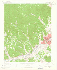
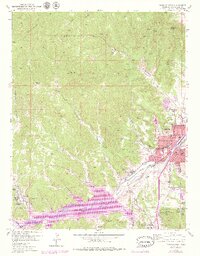
1951 Map of Trinidad
USGS Topo · Published 1964About this map
Trinidad serves as the focal point of this industrial and residential corridor, where the Purgatoire River flows past the base of Prospect Point. The landscape is defined by the heavy footprint of the coal industry, with a series of mines including the Starkville Mine and Cokedale Mine tucked into the canyons. Settlement patterns follow the river and the tracks of the Atchison Topeka and Santa Fe railroad, linking established communities like Jansen, Sopris, and Starkville. The map illustrates the civic infrastructure of the era, from the Trinidad State Jr College to the Columbian School. In the rugged hills north of the river, numerous coal mines such as the Peacock Coal Mine and Baldy Coal Mine indicate the extensive subterranean operations that drove the local economy. The transition from the urban grid of the county seat to these industrial outposts reveals a community deeply integrated with its mineral resources.
Find a feature on this map
69 named features on this map. Tap any name to fly to it.
Don’t see what you’re looking for? This feature index may not catch every label — zoom into the map to look around manually.
Map Details
Editions of this 1951 Trinidad Map
6 editions found
Other maps of this area

1891 · Spanish Peaks
USGS Topo · 1:125,000

1892 · Elmoro
USGS Topo · 1:125,000

1893 · Spanish Peaks
USGS Topo · 1:125,000

1893 · Elmoro
USGS Topo · 1:125,000

1895 · Spanish Peaks
USGS Topo · 1:125,000

1897 · Elmoro
USGS Topo · 1:125,000

1897 · Spanish Peaks
USGS Topo · 1:125,000

1900 · Spanish Peaks
USGS Topo · 1:125,000

1951 · Trinidad
USGS Topo · 1:24,000

1951 · Valdez
USGS Topo · 1:24,000