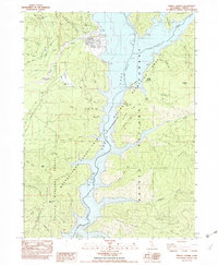
1982 Map of Trinity Center
USGS Topo · Published 1982About this map
Trinity Center stands as a focal point in the Trinity Mountains during the early 1980s, situated at the edge of the expansive Clair Engle Lake. This provisional survey illustrates the post-dam landscape where the Trinity River valley has been transformed into a massive reservoir, creating a recreation-focused geography marked by a local Airport, several boat ramps, and the Preacher Meadow Campground. The surrounding terrain is defined by prominent ridges like Bowerman Ridge and Linton Ridge, while local landmarks like the Norwegian Ranch and Wyntoon point to the area's older settlement patterns.
Find a feature on this map
54 named features on this map. Tap any name to fly to it.
Don’t see what you’re looking for? This feature index may not catch every label — zoom into the map to look around manually.
Map Details
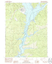
Editions of this 1982 Trinity Center Map
2 editions found
Other maps of this area

1886 · Shasta
USGS Topo · 1:250,000

1890 · Red Bluff
USGS Topo · 1:250,000

1894 · Red Bluff
USGS Topo · 1:250,000

1894 · Shasta
USGS Topo · 1:250,000

1913 · Weaverville
USGS Topo · 1:125,000

1923 · Sawyers Bar
USGS Topo · 1:125,000

1931 · Etna
USGS Topo · 1:96,000

1934 · Etna
USGS Topo · 1:125,000

1948 · Weed
USGS Topo · 1:250,000

1950 · Weed
USGS Topo · 1:250,000