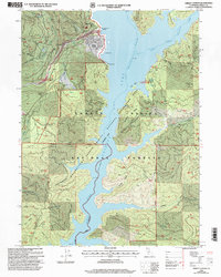
1998 Map of Trinity Center
USGS Topo · Published 2003About this map
Trinity Center sits along the northern reaches of Lake Trinity, serving as a focal point for recreation and local aviation at the Airport. The landscape is a complex of ridges and gulches, dominated by the waters of the Whiskeytown-Shasta-Trinity National Recreation Area. Higher elevations are marked by peaks such as Billys Peak and Bowerman Peak, while the shoreline is dotted with facilities like the Trinity Center Marina and the Jackass Spring Campground.
Find a feature on this map
56 named features on this map. Tap any name to fly to it.
Don’t see what you’re looking for? This feature index may not catch every label — zoom into the map to look around manually.
Map Details
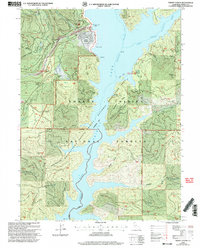
Editions of this 1998 Trinity Center Map
2 editions found
Other maps of this area

1886 · Shasta
USGS Topo · 1:250,000

1890 · Red Bluff
USGS Topo · 1:250,000

1894 · Red Bluff
USGS Topo · 1:250,000

1894 · Shasta
USGS Topo · 1:250,000

1913 · Weaverville
USGS Topo · 1:125,000

1923 · Sawyers Bar
USGS Topo · 1:125,000

1931 · Etna
USGS Topo · 1:96,000

1934 · Etna
USGS Topo · 1:125,000

1948 · Weed
USGS Topo · 1:250,000

1950 · Weed
USGS Topo · 1:250,000