
1952 Map of Trinity Islands D-1
USGS Topo · Published 1971About this map
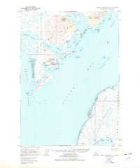
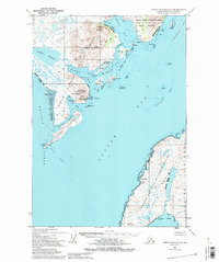
The remote southern reaches of Kodiak Island are defined by an intricate network of fjords and tidal lagoons in this mid-century survey. The settlement of Akhiok sits at the center of the sheet, connected to the maritime economy of the Pacific Ocean via a nearby Seaplane Base and the Pacific American Fishery Cannery on Lazy Bay. The landscape is dominated by the Kodiak National Wildlife Refuge, featuring steep elevations like Tungulara Mountain and the prominent Twin Peaks.
Find a feature on this map
47 named features on this map. Tap any name to fly to it.
Don’t see what you’re looking for? This feature index may not catch every label — zoom into the map to look around manually.
Map Details
Editions of this 1952 Trinity Islands D-1 Map
3 editions found
Other maps of this area

1951 · Kaguyak
USGS Topo · 1:250,000

1951 · Trinity Islands
USGS Topo · 1:250,000

1951 · Karluk
USGS Topo · 1:250,000

1952 · Kodiak
USGS Topo · 1:250,000

1952 · Kaguyak
USGS Topo · 1:250,000

1952 · Karluk
USGS Topo · 1:250,000

1952 · Trinity Islands D-2
USGS Topo · 1:63,360

1952 · Karluk A-1
USGS Topo · 1:63,360

1952 · Kaguyak D-6
USGS Topo · 1:63,360

1952 · Kodiak A-6
USGS Topo · 1:63,360