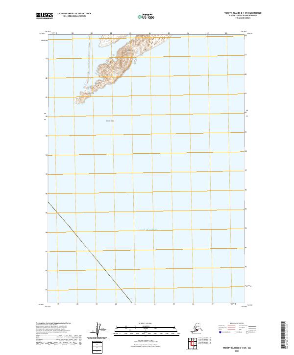
2021 Map of Trinity Islands D-1 SW
USGS Topo · Published 2021About this map
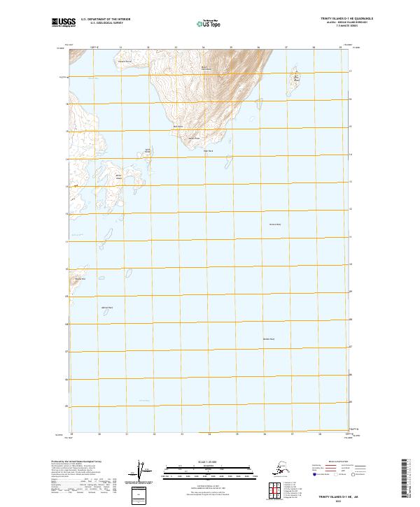
Cape Alitak and the finger of land extending toward Tanner Head define this maritime landscape at the southwestern edge of Kodiak Island. This map records a sparsely populated coastal environment where the land yields abruptly to the Gulf of Alaska. The presence of the Alitak Shoal just offshore highlights the navigational hazards inherent to this subarctic coastline. Most of the sheet is occupied by the open sea, underscoring the isolation of these landforms. The terrestrial portion is marked by sharp elevation changes and the specific Public Land Survey System boundaries of t38s r32w and t38s r31w, which provide a formal grid over the wilderness. This survey is a snapshot of an area where maritime and land-based features are the primary landmarks for those navigating the Alaskan coast.
Find a feature on this map
7 named features on this map. Tap any name to fly to it.
Don’t see what you’re looking for? This feature index may not catch every label — zoom into the map to look around manually.
Map Details
Editions of this 2021 Trinity Islands D-1 SW Map
This is the sole edition of this map. No revisions or reprints were ever made.
Other maps of this area

1951 · Trinity Islands
USGS Topo · 1:250,000

1952 · Trinity Islands D-2
USGS Topo · 1:63,360

1952 · Trinity Islands D-1
USGS Topo · 1:63,360

1952 · Trinity Islands C-1
USGS Topo · 1:63,360

1954 · Trinity Islands C-1
USGS Topo · 1:63,360
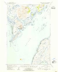
1954 · Trinity Islands D-1
USGS Topo · 1:63,360
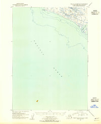
1954 · Trinity Islands D-2
USGS Topo · 1:63,360

1954 · Trinity Islands
USGS Topo · 1:250,000
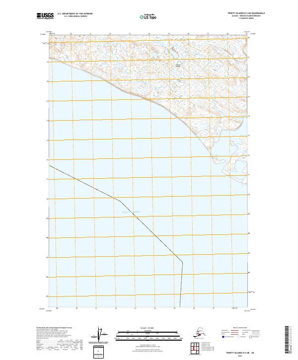
2021 · Trinity Islands D-2 NE
USGS Topo · 1:25,000
2021 · Trinity Islands D-1 NE
USGS Topo · 1:25,000