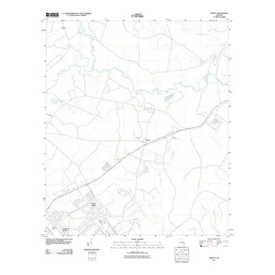
2011 Map of Trinity
USGS Topo · Published 2011About this map
Canoochee River and Canoochee Creek define the northern landscape of this coastal Georgia region, where the wetlands of the Peacock Creek basin meet the structured developments of the early 21st century. The map illustrates a specialized residential footprint, highlighting named residential areas like Bryan Village, Stewart Homes, and Hallwood Homes, which are clustered near the Taylors Creek Golf Course.
Find a feature on this map
14 named features on this map. Tap any name to fly to it.
Don’t see what you’re looking for? This feature index may not catch every label — zoom into the map to look around manually.
Map Details
Editions of this 2011 Trinity Map
This is the sole edition of this map. No revisions or reprints were ever made.
Other maps of this area

1918 · Hinesville
USGS Topo · 1:62,500

1920 · Pembroke
USGS Topo · 1:62,500

1920 · Meldrim
USGS Topo · 1:62,500

1920 · Limerick
USGS Topo · 1:62,500

1942 · Meldrim
USGS Topo · 1:62,500

1944 · Hinesville
USGS Topo · 1:62,500

1944 · Limerick
USGS Topo · 1:62,500

1946 · Brunswick
USGS Topo · 1:250,000

1947 · Savannah
USGS Topo · 1:250,000

1948 · Brunswick
USGS Topo · 1:250,000