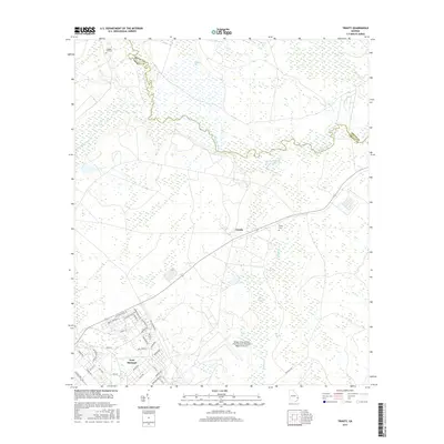
2017 Map of Trinity
USGS Topo · Published 2017About this map
Fort Stewart dominates the southwestern portion of this coastal Georgia landscape, where military infrastructure meets the expansive wetlands of the Coastal Plain. The map details the complex layout of the installation, including residential areas like Chickamauga and New Guinea St, alongside the significant aviation facilities at Wright Army Airfield. This dual-use airfield serves as a primary hub for both military operations and regional transport, situated just north of Peacock Cr.
Find a feature on this map
46 named features on this map. Tap any name to fly to it.
Don’t see what you’re looking for? This feature index may not catch every label — zoom into the map to look around manually.
Map Details
Editions of this 2017 Trinity Map
This is the sole edition of this map. No revisions or reprints were ever made.
Other maps of this area

1918 · Hinesville
USGS Topo · 1:62,500

1920 · Pembroke
USGS Topo · 1:62,500

1920 · Meldrim
USGS Topo · 1:62,500

1920 · Limerick
USGS Topo · 1:62,500

1942 · Meldrim
USGS Topo · 1:62,500

1944 · Hinesville
USGS Topo · 1:62,500

1944 · Limerick
USGS Topo · 1:62,500

1946 · Brunswick
USGS Topo · 1:250,000

1947 · Savannah
USGS Topo · 1:250,000

1948 · Brunswick
USGS Topo · 1:250,000